
 | ||
Similar | ||
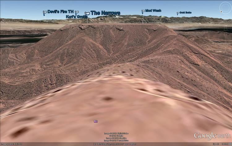
Mormon Mesa is a mesa between the Virgin River and the Muddy River in Clark County, southern Nevada.
Contents
- Map of Mormon Mesa Nevada 89040 USA
- Mormon Mesa Area of Critical Environmental Concern
- Double Negative by Michael Heizer
- References
Map of Mormon Mesa, Nevada 89040, USA
In the south above the confluence of the Muddy and Virgin Rivers, it rises to a height of 1893 feet (577 meters). It extends northward to the foot of the Mormon Mountains and East Mormon Mountains, and east from the Muddy River to the Virgin River, and to where it overlooks Toquop Wash at 36°48′19″N 114°14′05″W.
Mormon Mesa Area of Critical Environmental Concern
The 149,000 acres (60,000 ha) Mormon Mesa Desert Tortoise Area of Critical Environmental Concern (Mormon Mesa ACEC), protects habitat of the Desert tortoise , an endangered species. The Delamar Mountains Wilderness Area encompasses a portion of the Mormon Mesa Desert Tortoise ACEC. The ACEC is composed primarily of creosote-bursage scrub and mixed Mojave shrub plant communities.
Double Negative by Michael Heizer
Double Negative, the Land art sculpture created by renowned contemporary artist Michael Heizer in 1969, is located on an edge of Mormon Mesa, near Overton. It was donated by art collector and pioneer art gallerist Virginia Dwan to the Los Angeles Museum of Contemporary Art (MOCA), and is accessible to the public.