
Local time Saturday 11:49 PM | ||
 | ||
Weather 3°C, Wind SE at 0 km/h, 78% Humidity Points of interest Arch of Triumph, Kaeson Youth Park, Chilsongmun, Turm der Unsterblichkeit | ||
Moranbong park dance with the local senior citizens pyongyang dprk 1
Moranbong-guyŏk, or the Moranbong District, is one of the 19 guyŏk which constitute the city of Pyongyang, North Korea. It is located north of Chung-guyok, the city's central district, and is bordered to the north by Sosong and Taesong-guyoks, to the east by the Taedong River, and the west by the Potong River and Potonggang-guyok. It is named after Moran Hill located in the district's west area ("Moran" is Korean for peony). It was designated a guyŏk in October 1960 by the Pyongyang City People's Committee.
Contents
- Moranbong park dance with the local senior citizens pyongyang dprk 1
- Map of Moranbong District Pyongyang North Korea
- Popular videos moranbong guyok
- Overview
- Transport
- Administrative divisions
- References
Map of Moranbong District, Pyongyang, North Korea
Popular videos moranbong guyok
Overview
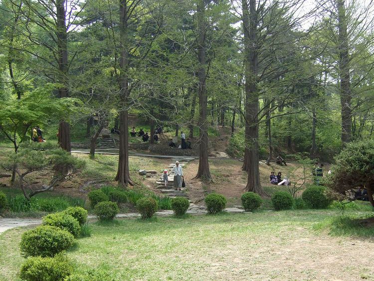
A large part of the district is taken up by the Moranbong Park, Pyongyang's largest recreation area. The park contains many significant historic relics, including vestiges of the old Pyongyang Castle walls and various ornamental pavilions. The district is also home to the Kim Il-sung Stadium and the site of Kim's first speech after the liberation of Pyongyang. The Pyongyang Arch of Triumph, the world's largest such arch, is also located in the district.
Transport
The Pyongyang Metro runs through this district, with stops at Tongil, Kaeson, Chonu, and Chonsung stations.
It is connected to Rungra Island and Taedonggang-guyŏk (on the Taedong's left bank) by the Rungra Bridge.
Administrative divisions
Moranbong-guyok is divided into fifteen administrative districts known as dong. The largest neighborhoods (Inhung, Pipa, and Kinmaul) are further divided in two parts for administrative purposes.