
Postcode(s) 5301 Elevation 17 m Local time Saturday 7:27 PM | Postal code 5301 | |
 | ||
LGA(s) The Coorong District Council Weather 16°C, Wind S at 19 km/h, 51% Humidity | ||
Sherlock is a settlement in South Australia. It is on the Pinnaroo railway line and Mallee Highway.
Contents
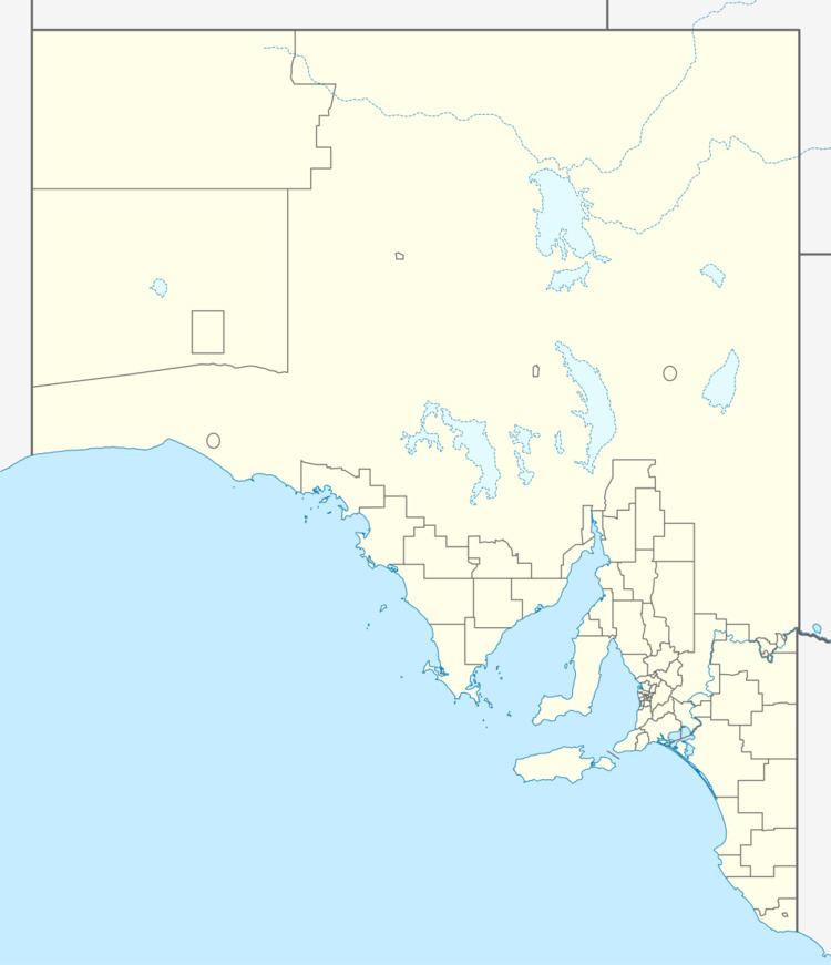
Map of Sherlock SA 5301, Australia
History
The town was surveyed in May 1907. The railway station opened in January 1913, with the stationmaster also responsible for the Moorlands station 9 miles (14 km) west. The Sherlock Baptist Church opened in 1911, and was the first stone building erected along the Pinnaroo railway line.
References
Sherlock, South Australia Wikipedia(Text) CC BY-SA