Airport type Public 12/30 4,500 Elevation 279 m | Owner City of Moorhead Elevation AMSL 918 ft / 279 m 4,500 1,372 Phone +1 218-299-5370 | |
 | ||
Address 3309 70th St S, Glyndon, MN 56547, USA Similar Moorhead Transfer Station, Moorhead Municipal Airport, Hector Internatio Airport, Moorhead Housing Rehab Pr, Moorhead City Animal Licenses | ||
Landing at moorhead municipal airport kjkj beechcraft bonanza
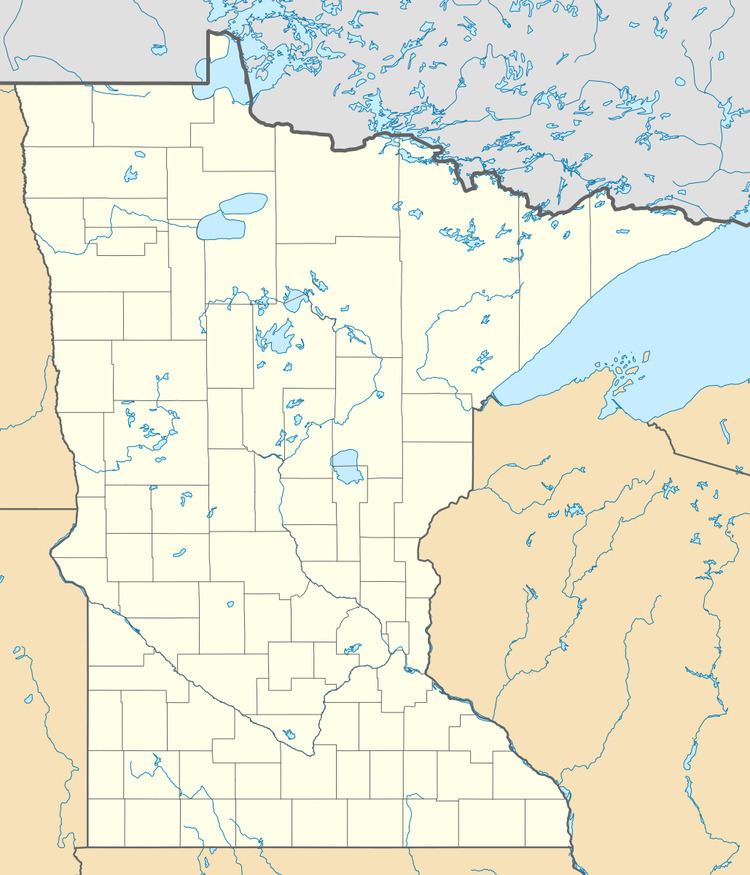
Moorhead Municipal Airport (ICAO: KJKJ, FAA LID: JKJ) is a city owned public use airport located four miles south east of the central business district of Moorhead, a city in Clay County, Minnesota, United States.
Contents
Facilities and aircraft
Moorhead Municipal Airport covers an area of 180 acres which contains one runway designated 12/30 with a 4,300 x 75 ft (1,311 x 23 m) asphalt surface. For the 12-month period ending September 23, 2010, the airport had 9,000 aircraft operations, an average of 25 per day: 100% general aviation. At that time there were 32 aircraft based at this airport: 39 single-engine and 3 multi-engine.
References
Moorhead Municipal Airport Wikipedia(Text) CC BY-SA
