
Local time Saturday 8:22 AM | ||
 | ||
Weather 2°C, Wind E at 19 km/h, 70% Humidity | ||
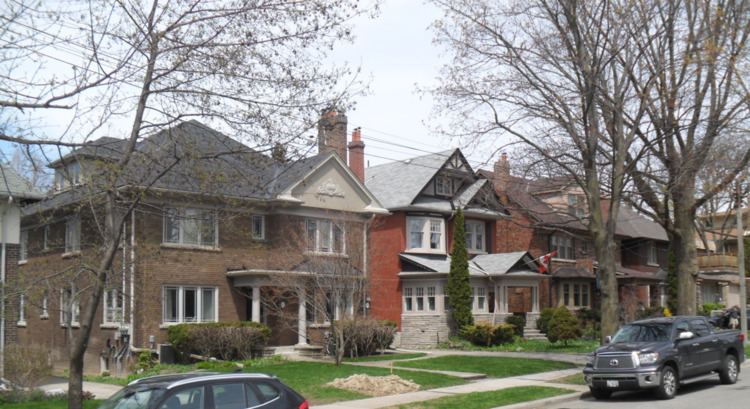
Moore Park is a neighbourhood in Toronto, Ontario, Canada. It lies along both sides of St. Clair Avenue East between the Vale of Avoca section of Rosedale ravine and Moore Park ravine (formerly Spring Valley ravine). The northern boundary is Mount Pleasant Cemetery and the southern the Canadian Pacific Railway tracks. Moore Park is one of Toronto's most affluent neighbourhoods.
Map of Moore Park, Toronto, ON, Canada
The neighbourhood takes its name from its developer, John T. Moore. To encourage buyers, he built two bridges in 1891: the original steel bridge on St. Clair over the Vale of Avoca, and the original wooden bridge on Moore Avenue over Spring Valley ravine. He also helped establish railway service to the neighbourhood, overseeing the connection of the area to the Toronto Belt Line Railway, a commuter railway. The development was marketed to the wealthy, and the neighbourhood remains wealthy. Moore Park was annexed by the City of Toronto on December 16, 1912.
Census tract 0125.00 of the 2006 Canadian census covers Moore Park. According to that census, the neighbourhood has 4,474 residents, down 2% from the 2001 census. Average income is $154,825, one of the highest incomes of all Toronto neighbourhoods, and not far below neighbouring Rosedale. The neighbourhood is almost entirely English speaking.