
Postcode(s) 4406 Postal code 4406 | Local time Saturday 9:24 PM | |
 | ||
Location 331 km (206 mi) W of Brisbane204 km (127 mi) W of Toowoomba122 km (76 mi) SW of Dalby112 km (70 mi) N of Goondiwindi65 km (40 mi) S of Tara LGA(s) Western Downs RegionGoondiwindi Region Weather 21°C, Wind SW at 8 km/h, 84% Humidity | ||
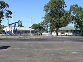
Moonie is a town and locality in the Darling Downs region of Queensland, Australia.
Contents
Map of Moonie QLD 4406, Australia
Geography
The town is in the Western Downs Region local government area at the intersection of the Leichhardt and Moonie Highways, 331 kilometres (206 mi) west of the state capital, Brisbane, and is the Official Oil Capital of Australia. The locality is split between the Western Downs Region (northern part of the locality) and the Goondiwindi Region (southern part of the locality).
History
The town's name is derived from Moonie River, which was first recorded as Mooni by Sir Thomas Mitchell in November 1846 when he passed through the region.
Moonie Post Office opened by June 1966 closed in 1983.
Economy
In December 1961 Moonie was the site of Australia's first commercial oil field, a very small field consisting of less than one percent of Australia's oil and gas reserves. The oil field is still operational and pumps out 35 kilolitres (7,700 gallons) every day.
The region is also an agricultural area that produces grain, beef cattle and prime lambs.
Amenities
The town has a public school, service station, the Moonie Sports Club and a motel.