
Country United States Time zone CST (UTC-6) Elevation 213 m Local time Monday 3:56 PM | Established November 8, 1859 GNIS feature ID 0429691 Area 98.29 km² Population 967 (2010) | |
 | ||
Weather 15°C, Wind E at 18 km/h, 78% Humidity | ||
Sadorus Township is a township in Champaign County, Illinois, USA. As of the 2010 census, its population was 967 and it contained 437 housing units.
Contents
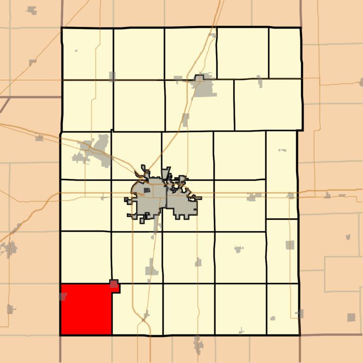
Map of Sadorus Township, IL, USA
Geography
According to the 2010 census, the township has a total area of 37.95 square miles (98.3 km2), of which 37.9 square miles (98 km2) (or 99.87%) is land and 0.05 square miles (0.13 km2) (or 0.13%) is water.
Cities and towns
Unincorporated towns
(This list is based on USGS data and may include former settlements.)
Cemeteries
The township contains eight cemeteries: O'Bryan, Old Adkins, Old Cloys, Old Frame, Rice, Rock, Sadorus and Saint Joseph.
References
Sadorus Township, Champaign County, Illinois Wikipedia(Text) CC BY-SA