
Elevation 915 m (3,002 ft) Area 35.7 km² Dialling code 0722 | Province / Metropolitan city Pesaro e Urbino (PU) Time zone CET (UTC+1) Local time Saturday 2:13 AM Postal code 61014 | |
 | ||
Frazioni Badia, Belvedere, Calvillano, Ca' Moneta, Pugliano, Ca' Bernacchia, Campo D'Arco, Casentino, Santa Rita, Villagrande (township's seat) Demonym(s) Villagrandesi (township frazione), Montecopiolesi (residents in the commune) Weather 8°C, Wind S at 23 km/h, 62% Humidity Province | ||
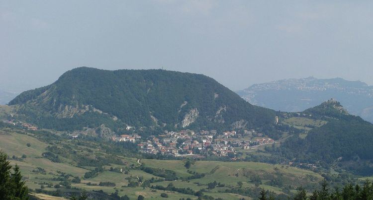
Montecopiolo is a comune (municipality) in the Province of Pesaro e Urbino in the Italian region Marche, located about 100 kilometres (62 mi) west of Ancona and about 45 kilometres (28 mi) west of Pesaro. It is formed by several villages, none exactly called Montecopiolo; the communal seat is in Villagrande.
Contents
Map of Montecopiolo, Province of Pesaro and Urbino, Italy
Montecopiolo borders the following municipalities: Carpegna, Macerata Feltria, Maiolo, Monte Cerignone, Monte Grimano, Pennabilli, Pietrarubbia, San Leo. It is home to a hill castle, built in the 10th century, at 1,030 metres (3,380 ft) above the sea level.
Twin towns
References
Montecopiolo Wikipedia(Text) CC BY-SA