
Max. length 6.3 km (3.9 mi) Province Québec | Type Natural Max. width 1.1 km (0.68 mi) | |
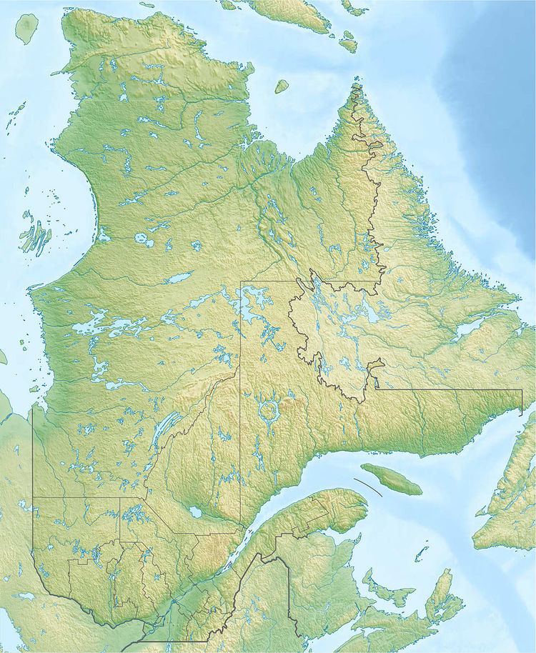 | ||
Lake Montauban is located in the municipality of Saint-Alban, in the Portneuf Regional County Municipality, in the administrative region of the Capitale-Nationale, in the Quebec, in Canada.
Contents
Map of Lac Montauban, Rivi%C3%A8re-%C3%A0-Pierre, QC, Canada
GeographyEdit
With a length of 6.3 kilometres (3.9 mi) and a maximum width of 1.1 kilometres (0.68 mi) Montauban Lake (Portneuf) is doing everything in length in the north-south axis. This lake is located entirely in the forest environment. The north end of the lake is located in the south-eastern part of the municipality of Rivière-à-Pierre, while most of the lake is located in the rank G (crossing 12 lots) and F (through 5 lots), located north of Saint-Alban. Thus, Montauban Lake is located northeast of Saint-Ubalde. The shape of the lake round the east corner of the Municipality of Notre-Dame-de-Montauban. The northern part of the lake extends into a strait leading to three small lakes including lake Nicolas and "petit lac Nicolas" (small lake Nicolas).
With 70 kilometres (43.50 mi), the Portneuf Regional Natural Park includes Long lake, Montauban, Carillon, Sept-Îles, En Cœur (In Heart), "À l'Anguille" (at the Eel) and some other water bodies more secondary. This park is popular for tourist activities: hiking trails, boat ramp to the water... At the mouth of Long Lake, a dam 20 metres (66 ft) long, offers a height of retained 3.2 metres (10 ft) and capacity retained 25.8 million cubic metres (910×10^6 cu ft) of water. This dam was built in wood in 1960 was rebuilt in concrete in 2011.
Lake Carillon is located west of the southern end of Lake Montauban, while Nadeau Lake is located in the south near the "long lake". Montauban lake discharges into the "Long Lake" located in the southeast. It discharges from the south in the Black River (Portneuf), which crosses the Saint Lawrence Lowlands serpentine manner to the village of Saint-Casimir where it flows into the Sainte-Anne River.
ToponymyEdit
The toponym "Lac Montauban" was recorded as of December 5, 1968 at the Bank of place names in Commission de toponymie du Québec (Geographical Names Board of Québec).