
Elevation 2,917 m | Mountain range Cottian Alps | |
 | ||
Similar Mont Giusalet, Pointe du Lamet, Pointe de Ronce, Rocciamelone, Signal du Petit Mont‑Cenis | ||
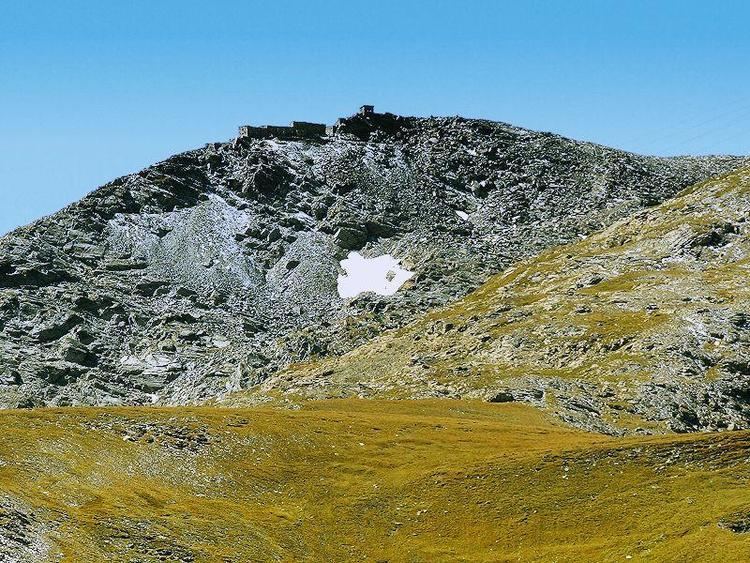
Mont Malamot (Italian: Monte Malamot; also called Pointe Droset in French) is a mountain in the northern Cottian Alps, near the Mont Cenis pass. It has an elevation of 2,917 metres (9,570 ft).
Map of Mont Malamot, 73480 Lanslebourg-Mont-Cenis, France
Nowadays entirely included in French territory, it separates the valleys of Dora Riparia and Arc. At the top is a large fortification built by the Italian Regio Esercito in 1889, on two floors, which could house some 200 troops. The area was further fortified in 1932-1940 during the construction of the Alpine Wall.
References
Mont Malamot Wikipedia(Text) CC BY-SA