
Elevation 3,313 m | Parent range Cottian Alps Prominence 835 m | |
 | ||
Similar Mont d'Ambin, Signal du Petit Mont‑Cenis, Pointe du Lamet, Mont Malamot, Pointe de Ronce | ||
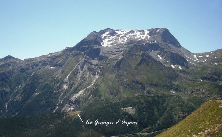
Mont Giusalet (3,313m - also called pointe du Clery) is a mountain in the Ambin group of the Cottian Alps in Savoie, France, near. the Italian border. The mountain dominates the lower Susa Valley and the town of Susa in Italy, and can even be seen from a large area of the Po Valley.
Map of Mont Giusalet, 73480 Bramans, France
The mountain, although lying on the Alpine watershed between the Val di Susa and the Arc valley, is entirely in French territory following the boundary adjustments decided in the 1947 Treaty of Paris .
Mont Giusalet is rocky on its southern slopes and covered by a glacier on its northern one. With the two smaller peaks: Cime de Bard (3,150 m) and Punta della Vecchia (2993 m), it forms a small mountain massif. The mountain looks like a long ridge about a mile long going from east to west with two peaks at either end. On the eastern summit lies an Iron Cross.