
GNIS feature ID 0453642 Area 132.7 km² Population 8,786 (2010) | ZIP codes 46001, 46063, 46070 Elevation 266 m Local time Thursday 1:30 PM | |
 | ||
Weather 1°C, Wind W at 13 km/h, 37% Humidity | ||
Monroe Township is one of fourteen townships in Madison County, Indiana, United States. In the 2010 census, its population was 8,786 and it contained 4,098 housing units.
Contents
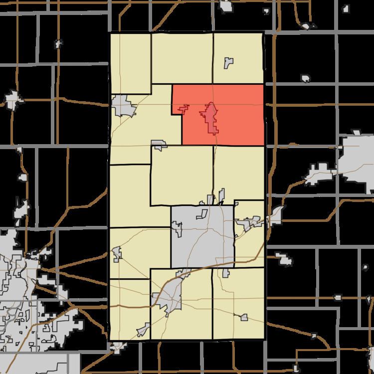
- Map of Monroe Township IN USA
- History
- Geography
- Cities towns villages
- Unincorporated towns
- Cemeteries
- Major highways
- Airports and landing strips
- School districts
- Political districts
- References
Map of Monroe Township, IN, USA
History
Monroe Township was organized in 1836. It was named for President James Monroe.
Geography
According to the 2010 census, the township has a total area of 51.25 square miles (132.7 km2), of which 51.22 square miles (132.7 km2) (or 99.94%) is land and 0.02 square miles (0.052 km2) (or 0.04%) is water.
Cities, towns, villages
Unincorporated towns
(This list is based on USGS data and may include former settlements.)
Cemeteries
The township contains these six cemeteries: Bell, Donahue, Parkview, Pisgah, Star and Walker.
Major highways
Airports and landing strips
School districts
Political districts
References
Monroe Township, Madison County, Indiana Wikipedia(Text) CC BY-SA