
Country United States County White GNIS feature ID 453418 Area 109.7 km² Population 1,162 (2010) | ZIP codes 47959, 47960, 47980 Elevation 209 m Local time Tuesday 2:12 AM | |
 | ||
Weather -5°C, Wind NE at 16 km/h, 76% Humidity | ||
Honey Creek Township is one of twelve townships in White County, Indiana, United States. As of the 2010 census, its population was 1,162 and it contained 509 housing units.
Contents
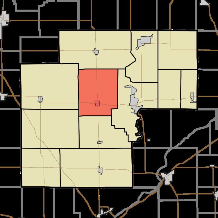
- Map of Honey Creek Township IN USA
- Geography
- Cities towns villages
- Adjacent townships
- Cemeteries
- Airports and landing strips
- School districts
- Political districts
- References
Map of Honey Creek Township, IN, USA
Honey Creek Township was organized in 1855. The township took its name from Honey Creek.
Geography
According to the 2010 census, the township has a total area of 42.36 square miles (109.7 km2), of which 42.35 square miles (109.7 km2) (or 99.98%) is land and 0.01 square miles (0.026 km2) (or 0.02%) is water.
Cities, towns, villages
Adjacent townships
Cemeteries
The township contains these two cemeteries: Bunnell and Swisher.
Airports and landing strips
School districts
Political districts
References
Honey Creek Township, White County, Indiana Wikipedia(Text) CC BY-SA