Traditional Chinese 蒙古高原 Hanyu Pinyin | Simplified Chinese 蒙古高原 | |
 | ||
Mongolian plateau native american flute
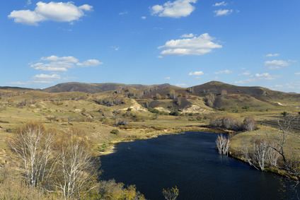
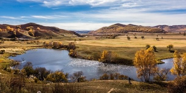
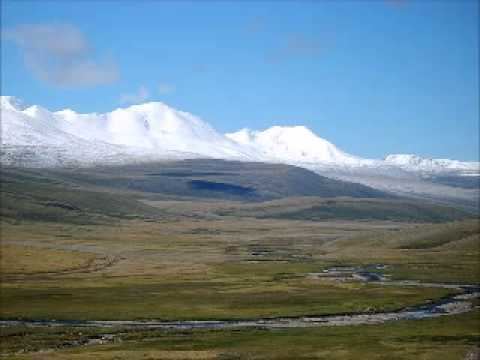
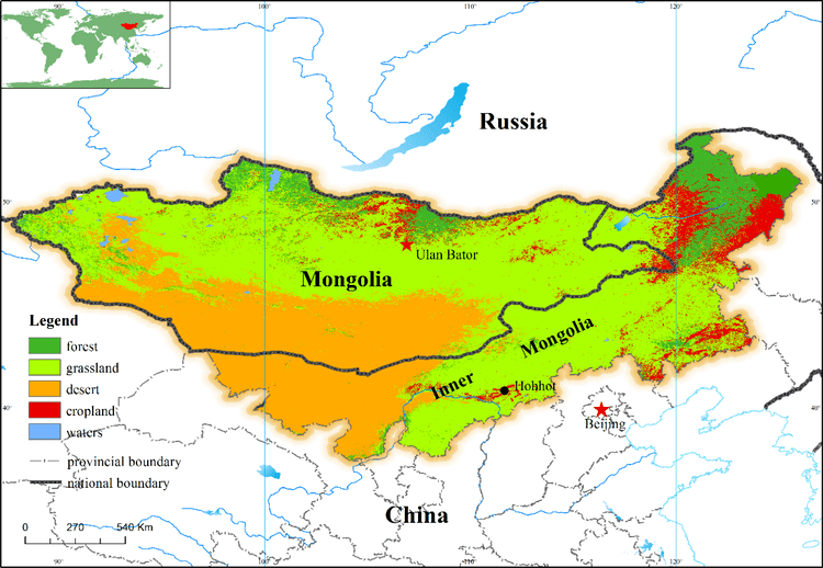
The Mongolian Plateau is the part of the Central Asian Plateau lying between 37°46′-53°08′N and 87°40′-122°15′E and having an area of approximately 3,200,000 square kilometres (1,200,000 sq mi). It is bounded by the Greater Hinggan Mountains in the east, the Yin Mountains to the south, the Altai Mountains to the west, and the Sayan and Khentii mountains to the north. The plateau includes the Gobi Desert as well as dry steppe regions. It has an elevation of roughly 1,000 to 1,500 meters, with the lowest point in Hulunbuir and the highest point in Altai.
Contents
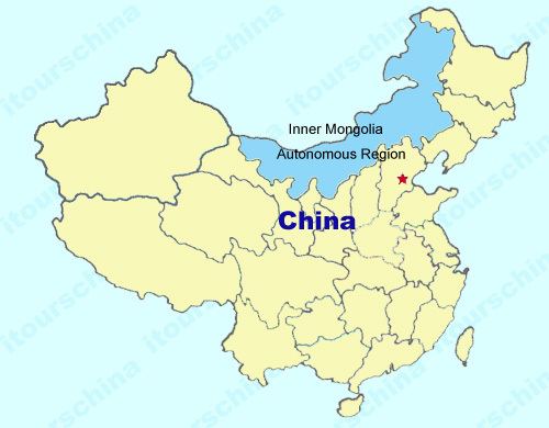
Politically, the plateau is divided between Mongolia, China and Russia. In China, parts of the Inner Mongolia and Xinjiang autonomous regions lie on the plateau. In Russia, the plateau forms part of Buryatia and the southern Irkutsk Oblast.
Changing environment
Many lakes on the Mongolian Plateau including Qagaan Nurr and XinKai Lake have shrunk by two-thirds of their surface area or have dried up completely, for example Huangqihai Lake and Naiman Xihu, over the period from the 1980s to 2010. While a few lakes such as East Juyan Lake and Had Paozi have grown, on average the total surface area of lakes has shrunk by 30%.