
- elevation 363 m (1,191 ft) | - elevation 614 m (2,014 ft) | |
 | ||
- location near Mole River (settlement) Mouths | ||
The Mole River, a watercourse that is one of the Border Rivers and part of the Macintyre catchment within the Murray–Darling basin, is located in the Northern Tablelands region of New South Wales, Australia.
Contents
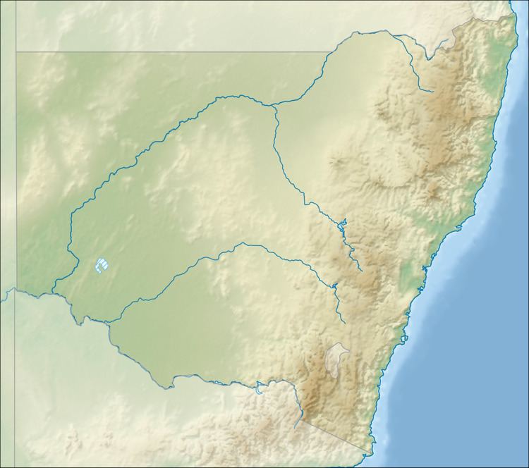
Map of Mole River, New South Wales, Australia
Course and features
Sourced from the western slopes of the Great Dividing Range, the river rises at the confluence of Deepwater River and Bluff River, west of Sandy Flat, and flows generally to the west before reaching its confluence with the Dumaresq River, near the village of Mole River; descending 252 metres (827 ft) over its 73 kilometres (45 mi) course.
The Mole River is one of the remotest headwaters of the Murray-Darling basin; and the area drained is hilly and rocky.
In 2007, Tenterfield Shire Council called for a dam to be constructed on the Mole River.