
Existed: 1935 (1935) – present Counties: Clinton | Length 2.025 km | |
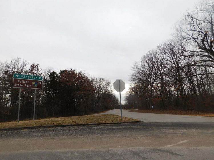 | ||
East end: Route HH in Wallace State Park | ||
Route 121 is a short highway in Clinton County, Missouri. It begins at U.S. Route 69 (US 69) south of Cameron and ends at Wallace State Park where the road becomes Route HH. It served as a connector between US 69 and the state park since 1935.
Contents
Map of MO-121, Cameron, MO 64429, USA
Route description
Route 121 begins at an intersection with US 69 just south of the U.S. Highway's interchange with Interstate 35 (I-35) in eastern Clinton County. The route is entirely rural; both sides of the highway are dotted with acreages surrounded by farmland. As the road approaches Wallace State Park, it becomes a tree-lined highway. The route ends at a Y intersection with Route HH, which continues east, and the southerly access road to the park.
History
Route 121 was designated in 1935 and first appeared on the 1936 state map. Since it has been in the state highway system, it has always connected Wallace State Park to US 69.
Major intersections
The entire route is in Shoal Township, Clinton County.