
Existed: 1922 – present Length 11.67 km | Constructed 1922 | |
 | ||
Major cities Kansas City, Gladstone, North Kansas City | ||
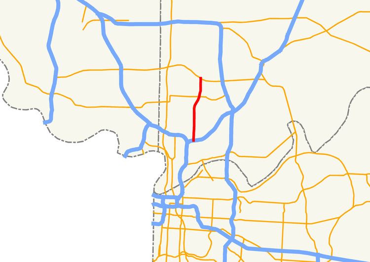
Route 1 is a 7.253-mile-long (11.673 km) state highway in the Kansas City metropolitan area that travels from Route 210 in North Kansas City to Route 152 in Kansas City. Because of annexation, Route 1 travels to the north out of North Kansas City and enters Kansas City proper before passing through Gladstone and re-entering Kansas City.
Contents
Map of MO-1, Missouri, USA
Route description
Route 1 begins at an intersection with Route 210 (Armour Road) in North Kansas City as Vernon Street. It travels to the north-northeast along Prather Road into Kansas City proper. Before crossing Parvin Road, the route curves northeast and then curves back to due north, at which point it becomes Antioch Road. Route 1 then has an interchange with Interstate 35 (I-35) and an intersection with U.S. Route 69 (US 69; Vivion Road). The route crosses Englewood Road into the city limits of Gladstone, continuing on from N.E. 64th Street as N. Prospect Avenue. It then continues due north to N.E. 72nd Street, and curves to the northeast, where it re-enters the city limits of Kansas City. Then Route 1 curves back to the north, becoming N. Indiana Avenue. The route ends at an interchange with Route 152.
History
The highway was one of the original 1922 highways in Missouri and it originally ran from the Arkansas state line south of Noel to the Iowa state line north of Rock Port. In 1926, with the creation of the U.S. Highway system, Route 1 became part of U.S. Route 71 and U.S. Route 59. The original Route 1 is now:
Branches
Route 1 originally had several branches (all decommissioned):
Major intersections
The entire route is in Clay County.