 | ||
Misionis Bay (Bulgarian: залив Мисионис, ‘Zaliv Misionis’ \'za-liv mi-si-'o-nis) is the 1.6 km wide bay indenting for 2.35 km the northeast coast of Pickwick Island in the Pitt group of Biscoe Islands, Antarctica. It is entered east of Kusev Point and west of Plakuder Point.
Contents
The bay is named after the ancient and medieval town of Misionis in Northeastern Bulgaria.
Location
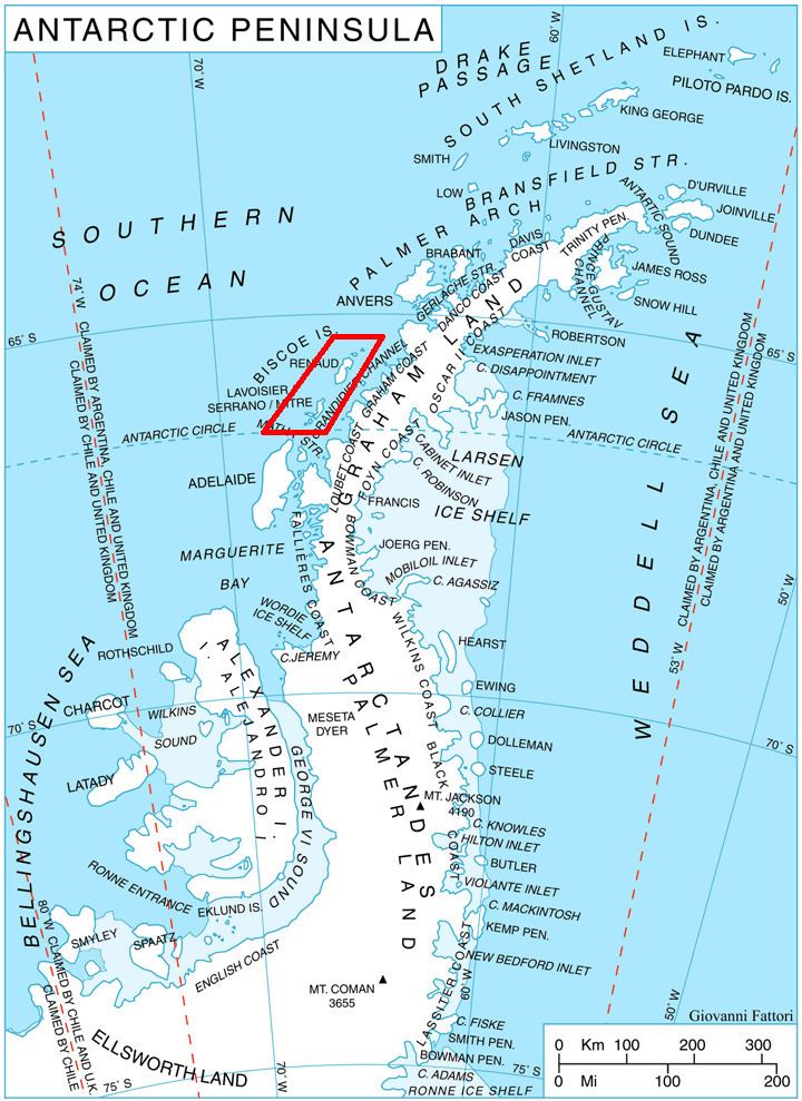
Misionis Bay is centred at 65°28′25″S 65°34′15″W. British mapping in 1971.
Maps
References
Misionis Bay Wikipedia(Text) CC BY-SA
