
 | ||
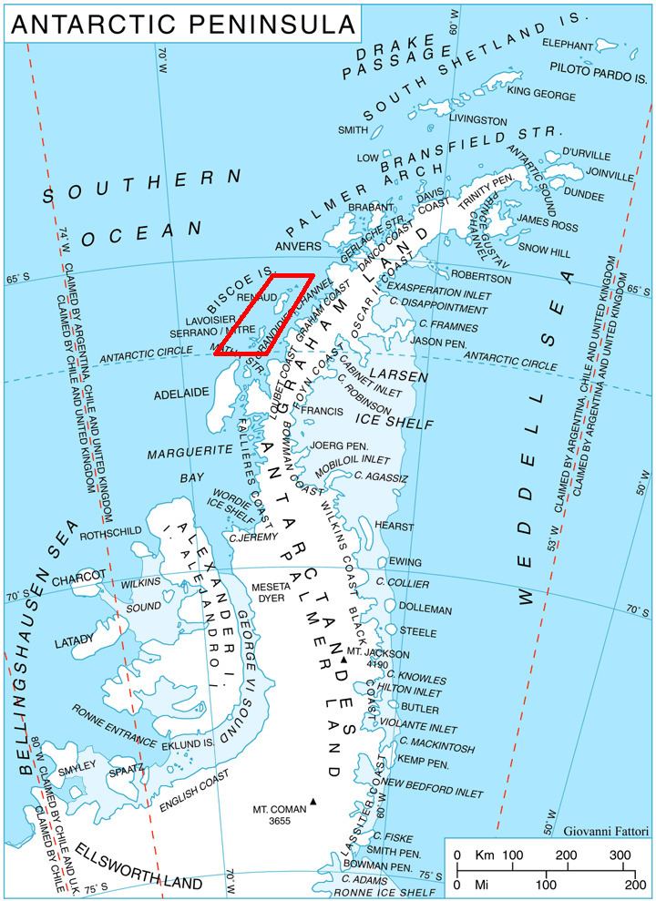
Pickwick Island is the largest of the Pitt Islands, in the Biscoe Islands, Antarctica. It is 9.45 km long in southwest-northeast direction, separated from Renaud Island on the southwest by Mraka Sound, and has its northeast coast indented by Misionis Bay.
The island was very roughly charted by the British Graham Land Expedition (BGLE) under Rymill, 1934-37. More accurately shown on an Argentine government chart of 1957. Named by the United Kingdom Antarctic Place-Names Committee (UK-APC) in 1959 after Samuel Pickwick, founder of the Pickwick Club in Charles Dickens' Pickwick Papers.
Maps
References
Pickwick Island Wikipedia(Text) CC BY-SA