
Postal Code 15130-000 Elevation 587 m Local time Monday 8:36 PM | Time zone UTC-3 (UTC-3) Area code(s) +55 17 Area 243.2 km² Team Mirassol Futebol Clube | |
 | ||
Weather 26°C, Wind SE at 6 km/h, 74% Humidity | ||
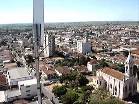
Mirassol is a municipality in the state of São Paulo, Brazil. The city is located in the northern part of the state, 453 km from the city of São Paulo and 15 km from São José do Rio Preto. Mirassol has 53,792 inhabitants (IBGE/2010).
Contents
- Map of Mirassol State of SC3A3o Paulo Brazil
- Neighbouring places
- History
- Economy
- Demographics
- Statistics
- Transportation
- Notable people
- Sports
- References
Map of Mirassol, State of S%C3%A3o Paulo, Brazil
The city belongs to the Microregion of São José do Rio Preto.
Neighbouring places
Mirassolândia, Ipiguá, São José do Rio Preto, Bady Bassitt, Nova Aliança, Jaci, Neves Paulista and Bálsamo
History
The city was founded on September 8, 1910, by Joaquim da Costa Penha, with the name of São Pedro da Mata Una. In November 27, 1919, the village changed its name to Mirassol, being elevated to district.
The city was officially established as a municipality in December 23, 1924.
Economy
Mirassol has a relevant furniture industry, and 30% of the city's GDP comes from the Secondary sector. Commerce and services corresponds to 68% of the Economy.
Demographics
The HDI, measured by the UNDP, was 0.822 in the year 2000. The life expectancy for the city is 75.42 years. The literacy rate, measured in 2000 by SEADE, was 92.35%.
There weren't homicides in the year 2008. In 2007, Mirassol had 1 homicide.
Statistics
All statistics are from SEADE and IBGE.
Transportation
The city is linked with the SP-310 (Rodovia Washington Luis) and SP-320 (Rodovia Euclides da Cunha) state highways. Mirassol has an airport for small planes.
Notable people
Sports
Mirassol Futebol Clube, founded in 1925, is the city's football (soccer) club. The team's stadium is the Estádio Municipal José Maria de Campos Maia, which has a maximum capacity of 14,534 people.