
Existed: 1965 – present Length 8.441 km | Constructed 1965 | |
 | ||
Major cities | ||
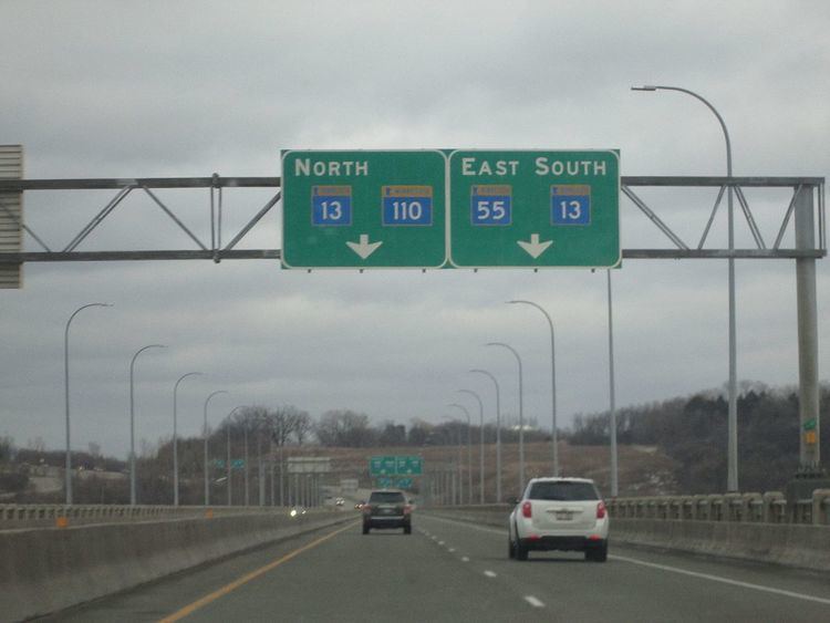
Minnesota State Highway 110 (MN 110) is a short connector highway in Minnesota, which runs from its interchange with State Highway 55 in Mendota Heights and continues east to its eastern terminus at its interchange with Interstate 494 in Inver Grove Heights, south of downtown Saint Paul.
Contents
Map of MN-110, Minnesota, USA
Highway 110 is 5 miles (8.0 km) in length.
Route description
Highway 110 serves as an east–west arterial route between Mendota Heights, Mendota, West St. Paul, Sunfish Lake, and Inver Grove Heights. The route is a four lane divided highway and heavily stoplighted.
Highway 110 has a major junction with Interstate 35E in the center of Mendota Heights. The route also has an interchange with Robert Street / Robert Trail (State Highway 3) in Inver Grove Heights.
Highway 110 parallels Interstate 494 throughout its route in Dakota County. Highway 110 also has an interchange with Interstate 494 at its eastern terminus in Inver Grove Heights.
The western terminus of Highway 110 is located near the confluence of the Minnesota and Mississippi rivers at the Mendota Bridge.
The Sibley House Historic Site museum in Mendota, overlooking Fort Snelling, is located immediately north of the junction of Highways 110 and 13. The museum is on Highway 13.
History
The present day Highway 110 was marked in 1965. Previously, this same route was known as part of Highway 100 from 1934 to 1965.
This route was originally part of the Highway 100 Beltway circling the entire Twin Cities during the 1940s and 1950s. It was paved before 1940 and constructed as a divided highway by 1953.
Highway 110 was numbered as a derivative of Highway 100 in 1965.
Before completion of the I-494 freeway in 1985, I-494 had a missing link during the previous twenty years. Highway 110 had carried all I-494 traffic from its beginning at State Highway 55 in Mendota Heights, to the then completed portion of I-494 beginning again at Babcock Trail in Inver Grove Heights. There was a traffic signal at this junction (where Highways 3, 52, 110, and 494 all intersected) for many years following completion of the nearby Lafayette Freeway (then marked Highway 3, now U.S. 52). An interchange has since been constructed replacing this traffic signal.
Major intersections
The entire route is in Dakota County.