
- elevation 493 m (1,617 ft) | - elevation 374 m (1,227 ft) Mouth Lake St. Joseph | |
 | ||
Walking miniss river
The Miniss River is a river in the Unorganized Part of Thunder Bay District in Northwestern Ontario, Canada. The river is part of the James Bay drainage basin and is a tributary of Lake St. Joseph.
Contents
- Walking miniss river
- Map of Miniss River Unorganized Thunder Bay District ON Canada
- Tributaries
- References
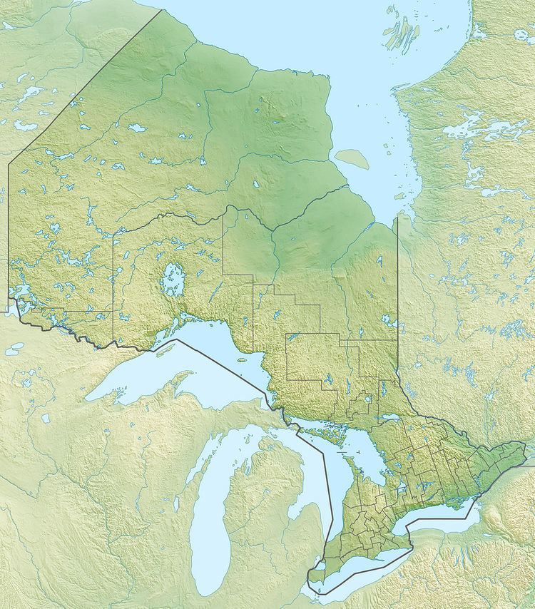
Map of Miniss River, Unorganized Thunder Bay District, ON, Canada
The river begins at an unnamed lake and flows north to Hill Lake. It turns southwest to Yam Lake, then flows northeast through Hooker Lake and Arc Lake to Miniss Lake, where it takes in the right tributary De Lesseps River. The river heads north, takes in the left tributary St. Raphael River, and reaches its mouth at Miniss Bay on Lake St. Joseph, the source of the Albany River, which flows to James Bay.
Tributaries
References
Miniss River Wikipedia(Text) CC BY-SA