
Country United States Area code(s) 928 Elevation 1,476 m | Time zone Mountain (MST) (UTC-7) GNIS feature ID 24516 Local time Monday 4:29 AM | |
 | ||
Weather 9°C, Wind S at 8 km/h, 40% Humidity | ||
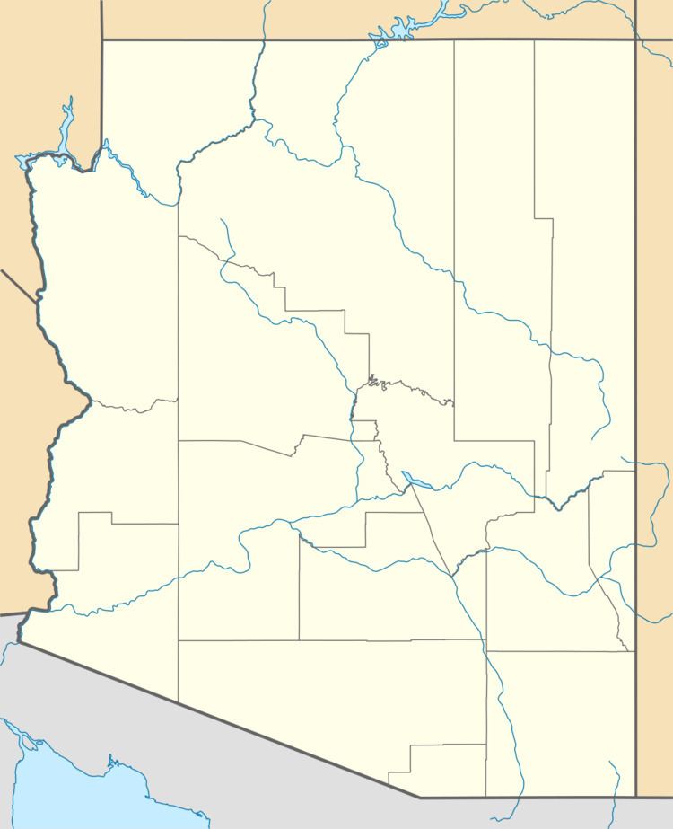
Mexican Water is an unincorporated community in Apache County, Arizona, United States. Mexican Water is located on the Navajo Nation 14 miles (23 km) west of Red Mesa.
Contents
Map of Mexican Water, Arizona 86514, USA
History
A trading post was established at this site in 1907 under the name Nokaita. It is believed that the current name came from wells that have since disappeared. In July 1, 1939 a bridge was completed 3 miles west of the site because erosion had made the river crossing unusable.
References
Mexican Water, Arizona Wikipedia(Text) CC BY-SA