
Country Algeria Time zone CET (UTC+1) Local time Monday 12:34 AM | Elevation 219 m Population 8,438 (2008) | |
 | ||
Weather 17°C, Wind S at 19 km/h, 69% Humidity | ||
Metarfa (Arabic: المطارفة) is a town and commune in Aougrout District, Adrar Province, in south-central Algeria. According to the 2008 census it has a population of 8,438, up from 7,061 in 1998, with an annual growth rate of 1.8%.
Contents
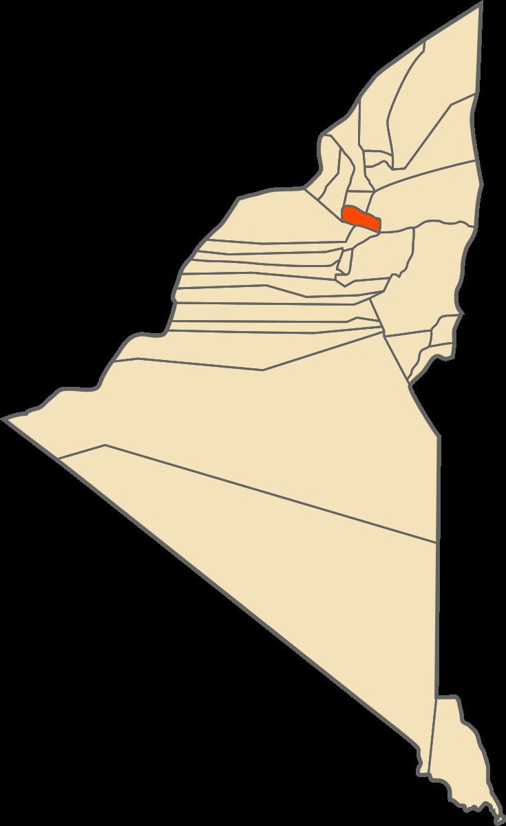
Map of Metarfa, Algeria
Geography
The villages in Metarfa commune are built near various scattered oases in the southern part of the Gourara region of northern Adrar Province, about halfway between Timimoun and Adrar. The surrounding areas generally consist of rocky plains interspersed with low sand dunes.
Climate
Metarfa has a hot desert climate (Köppen climate classification BWh), with extremely hot summers and mild winters, and very little precipitation throughout the year.
Transportation
Roads lead out of Metarfa town to the southwest and northeast. The road to the southeast connects to the N6 highway, while the road to the northeast branches; the branch to the northwest leads to the villages of Ouled Rached and Ouled Ali while the branch to the southeast leads to Ouled Mahmoud and Oufrane, and eventually to Aougrout.
Education
2.8% of the population has a tertiary education, and another 10.5% has completed secondary education. The overall literacy rate is 73.8%, and is 85.8% among males and 61.2% among females.
Localities
As of 1984, the commune was composed of 11 localities: