
Country Algeria Time zone CET (UTC+1) Local time Monday 9:33 AM | District Aougrout Elevation 282 m Population 11,784 (2008) | |
 | ||
Weather 14°C, Wind E at 11 km/h, 37% Humidity | ||
Aougrout (Arabic: أوﻗﺮت) is a commune in Aougrout District, Adrar Province, in south-central Algeria. According to the 2008 census it has a population of 11,784, up from 9,878 in 1998, with an annual growth rate of 1.8%.
Contents
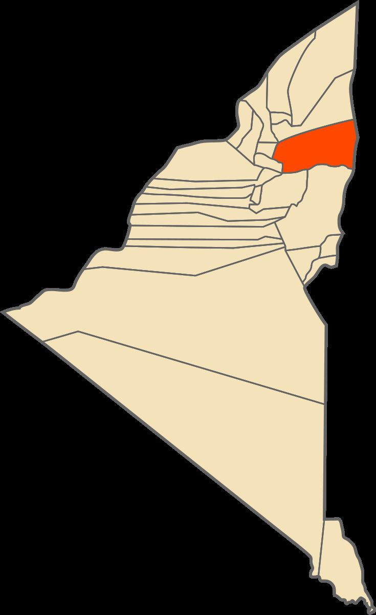
Map of Aougrout, Algeria
Geography
The population center of Aougrout commune is centered on an oasis located in the southern part of the Gourara region, 108 kilometres (67 mi) northeast of the provincial capital Adrar. Most of the villages of the commune are located on the eastern side of the oasis. Most of the region surrounding the oasis is a flat rocky plain (a reg), but some low hills rise to the east and south-east.
Climate
Aougrout has a hot desert climate (Köppen climate classification BWh), with extremely hot summers and mild winters, and very little precipitation throughout the year.
Transportation
Aougrout is connected by a road leading north to Timimoun, a road leading west to the Deldoul oasis, and a road leading southwest to Tsabit (and from there to Adrar via the N6 national highway).
Education
6.4% of the population has a tertiary education, and another 15.3% has completed secondary education. The overall literacy rate is 75.8%, and is 88.0% among males and 63.5% among females.
Localities
As of 1984, the commune was composed of 11 localities: