
Area 6,896 km² | Time zone China Standard (UTC+8) | |
 | ||
Prefecture | ||
Menyuan Hui Autonomous County (simplified Chinese: 门源回族自治县; traditional Chinese: 門源回族自治縣; pinyin: Ményuán Huízú Zìzhìxiàn; Xiao'erjing: مٍیُوًا خُوِذُو ذِجِشِیًا; Tibetan|Tibetan: སེམས་ཉིད་ཧུའེ་རིགས་རང་སྐྱོང་ཞན།) is a county of Qinghai Province, China. It is under the administration of Haibei Tibetan Autonomous Prefecture. Menyuan is situated on the Datong River between the Qilian Mountains and Daban Mountains. Gangshiqia Peak rises dramatically in the north of the county.
Contents
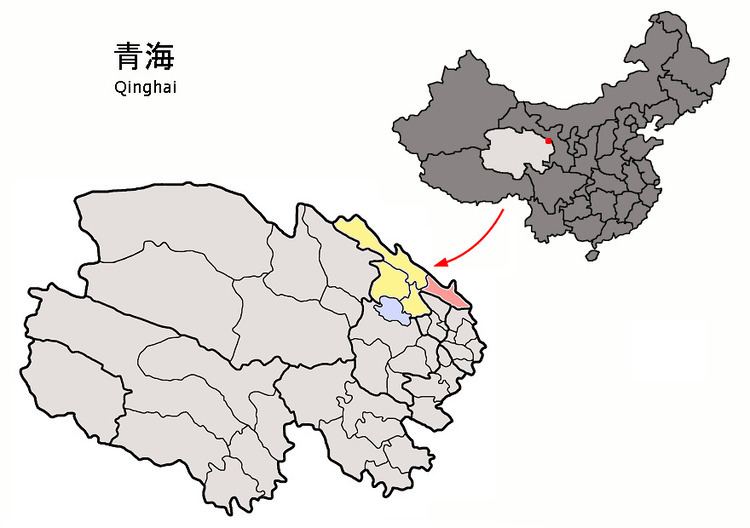
Map of Menyuan, Haibei, Qinghai, China
References
Menyuan Hui Autonomous County Wikipedia(Text) CC BY-SA