
Established 1 January 1990 Time zone CET (UTC+1) Area 81.62 km² | Elevation 2 m (7 ft) Postcode 9630–9639, 9649–9651 Area code 0598 | |
 | ||
Weather 6°C, Wind SE at 11 km/h, 94% Humidity | ||
Protest sluiting sporthallen menterwolde
Menterwolde ( [ˌmɛntərˈʋɔldə]) is a municipality with a population of 12,233 in the province of Groningen in the Netherlands.
Contents
- Protest sluiting sporthallen menterwolde
- History
- Geography
- Governance
- Demographics
- Transportation
- References
History
On 1 January 1990, the municipalities of Meeden, Muntendam, and Oosterbroek merged to form Menterwolde.
Geography
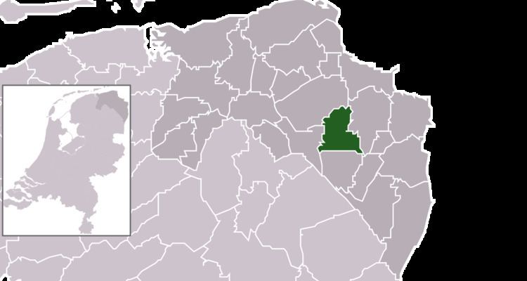
Menterwolde is located in the province of Groningen in the northeast of the Netherlands. It is situated in the west of the region of Oldambt.
Menterwolde is bordered by the municipalities of Slochteren in the northwest and north, Oldambt in the east, Pekela in the southeast, Veendam in the south, and Hoogezand-Sappemeer in the southwest and west.
The population centres in Menterwolde are the villages of Borgercompagnie, Meeden, Muntendam, Noordbroek, Tripscompagnie, and Zuidbroek.
The municipality has a total area of 81.62 km2 (31.51 sq mi) of which 80.33 km2 (31.02 sq mi) is land and 1.29 km2 (0.50 sq mi) is water.
Governance
The appointed mayor of Menterwolde is Eduard van Zuijlen of GroenLinks.
Demographics
In 2014, Menterwolde had a population of 12,233 and a population density of 152/km2 (390/sq mi).
Transportation
The Zuidbroek railway station is located on the Harlingen–Nieuweschans railway and the Stadskanaal–Zuidbroek railway.