
Time zone CET (UTC+1) Website www.pekela.nl Local time Saturday 11:25 PM Area code 0597 | Elevation 1 m (3 ft) Postcode 9662–9669 Area 50.2 km² | |
 | ||
Weather 4°C, Wind N at 8 km/h, 90% Humidity | ||
Pekela ( [ˈpeːkəlaː]) is a municipality in the province of Groningen in the Netherlands. It was created in 1990 when Oude Pekela and Nieuwe Pekela were merged.
Contents
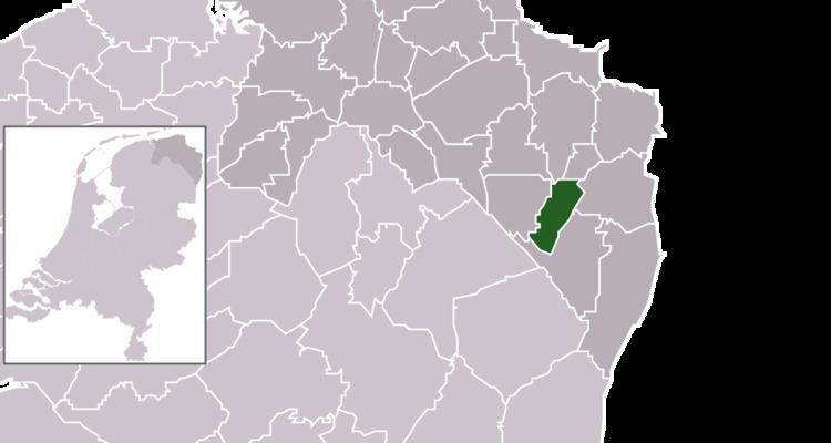
Map of Pekela, Netherlands
History
The municipality of Pekela was created when the municipalities of Oude Pekela and Nieuwe Pekela were merged in 1990.
Geography
Pekela is located at 53°6′N 7°0′E in the southeast of the province of Groningen in the northeast of the Netherlands. It is bordered by the municipalities of Oldambt (in the north), Bellingwedde (east), Stadskanaal (south), Veendam (west), and Menterwolde (northwest).
The river Pekel Aa crosses the municipality from north to south. The main population centres in the municipality are the villages of Boven Pekela (Upper Pekela), Nieuwe Pekela (New Pekela), and Oude Pekela (Old Pekela). Part of the village of Alteveer and the hamlets of Bronsveen and Hoetmansmeer are also in the municipality.
The municipality has a total area of 50.20 km2 (19.38 sq mi), of which 49.10 km2 (18.96 sq mi) is land and 1.10 km2 (0.42 sq mi) is water.
Governance
The mayor (burgemeester) of Pekela is Meindert Schollema of the Labour Party. The municipal council of Pekela consists of 15 seats, which are divided as follows:
Demographics
In 2014, the municipality had a total population of 12,709 and a population density of 259/km2 (670/sq mi).