
Local time Saturday 4:54 PM | Effective January 1, 1982 Time zone EST (UTC−5) Population 48,551 (2011) | |
 | ||
Weather 3°C, Wind E at 10 km/h, 39% Humidity Points of interest Mont Orford, Mont‑Orford National Park, Haskell Free Library a, Saint Benedict Abbey - Q, Marais de la Rivière aux Ceris | ||
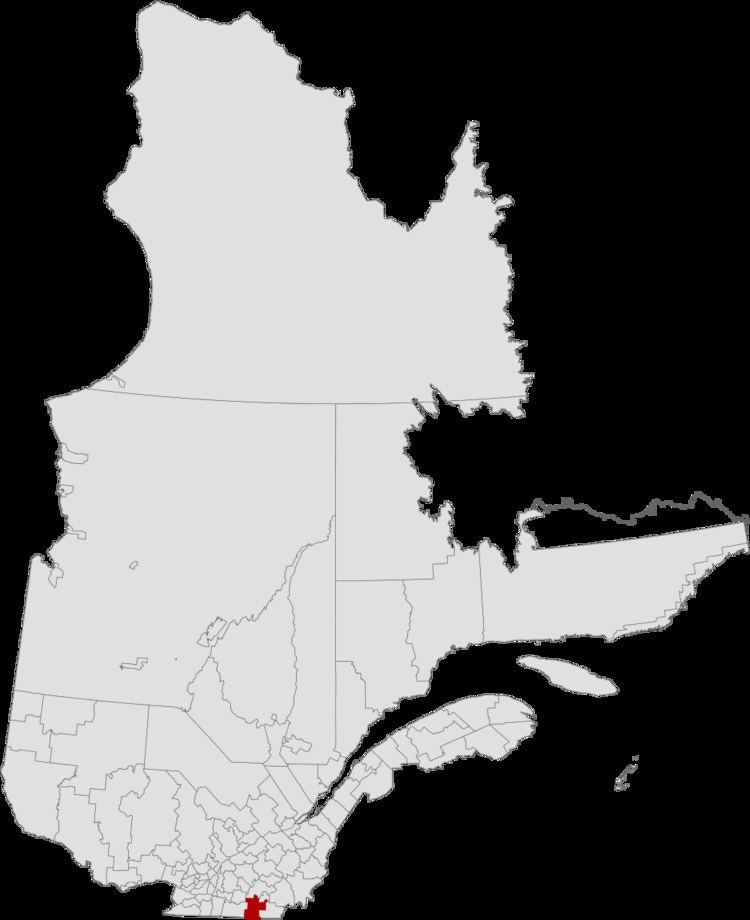
Memphrémagog is a regional county municipality in the Estrie region of Quebec, Canada.
Contents
- Map of MemphrC3A9magog Regional County Municipality QC Canada
- History
- Subdivisions
- Access Routes
- References
Map of Memphr%C3%A9magog Regional County Municipality, QC, Canada
History
After the signing of the Treaty of Paris on September 3, 1783, the American Revolutionary War ended. the state of Vermont was established in 1791. The border of Lower Canada was then defined at approximately 45 degrees north latitude. The territory immediately adjacent to it became part of Quebec in 1848.
Subdivisions
There are 17 subdivisions within the RCM:
Access Routes
Highways and numbered routes that run through the municipality, including external routes that start or finish at the county border:
References
Memphrémagog Regional County Municipality Wikipedia(Text) CC BY-SA