Type Highway | Length 65 km | |
 | ||
Coordinates (North end) (South end) Formerroute number State Route 153 (1986-1998)Entire route via Yarra Glen town centre B300 (1998-2010)Yarra Glen town centre North end Goulburn Valley HighwayYea, Victoria South end Maroondah HighwayColdstream, Victoria Major settlements Glenburn, Dixons Creek, Yarra Glen, Yering | ||
The Melba Highway connects the outer eastern suburb of Coldstream, near Lilydale, and the town of Yea, in Victoria's Central Highlands on the Goulburn Valley Highway.
Contents
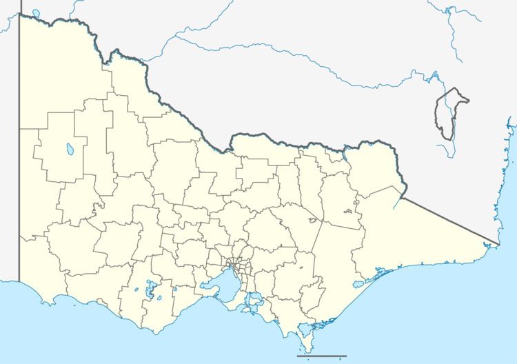
Map of Melba Hwy, Victoria, Australia
Route
The highway passes through the alluvial plains of the Yarra River and the rich Yarra Valley vineyards near Yarra Glen. At Yarra Glen, the road diverts from the main town street (Bell Street) and follows a recently completed bypass of the township. After rejoining the main highway north of Yarra Glen, the road rises up a steep grade between Dixons Creek and Glenburn to the top of the Great Dividing Range at a road junction that links the highway with the nearby towns of Kinglake and Toolangi, a former home of Australian author C. J. Dennis.
From there, the road passes through forest and open agricultural land before reaching Yea, a small pastoral town.
Speed Limit
History
The road is named after Dame Nellie Melba, a famed Australian opera singer of the early 20th century whose former country estate lies at the southern end of the highway, at the junction of the Melba and Maroondah highways in Coldstream.
The road is within the Shire of Yarra Ranges and Shire of Murrindindi local government areas.
The Yarra Glen bypass which opened in May 2010 diverts trucks and other through vehicles. Works also saw the Bell Street/Melba Highway roundabout created along with a new level crossing through the roundabout for the Yarra Valley Railway.
