
PIN 814160 (Meharama) Elevation 53 m Area code 06437 | Time zone IST (UTC+5:30) Telephone/STD code 06437 Population 146,325 (2011) | |
 | ||
Meharama (also spelled Meharma, Mehrma) is a community development block that forms an administrative division of Godda district, Jharkhand state, India. It is located 49 km from Godda, the district headquarters.
Contents
Meharama
Geography
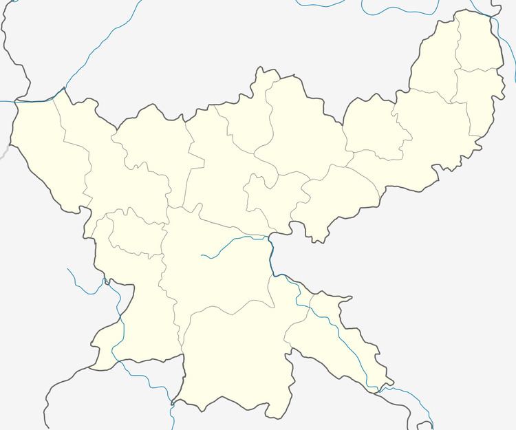
Mehrma, the eponymous CD Block headquarters, is located at 25°12′6″N 87°21′59″E.
Meharama CD Block has 24 panchayats and 115 villages.
Demographics
As per 2011 Census of India, Meherma CD Block had a total population of 146,325, all of which were rural. There were 76,588 (52%) males and 69,737 (48%) females. Population below 6 years was 28,822. Scheduled Castes numbered 22,253 and Scheduled Tribes numbered 13,451.
In 2011 census, Mehrma (village) had a population of 3,234. Meherama CD Block had three large villages (2011 population in brackets): Singhari (4,191), Sudin (4,999) and Kasba (4,121).
Literacy
As of 2011 census, the total number of literates in Meherma CD Block was 65,788 (55.99% of the population over 6 years) out of which 40,865 (60%) were males and 24,923 (40%) were females.
As of 2011 census, literacy in Godda district was 57.40. Literacy in Jharkhand (for population over 7 years) was 66.41% in 2011. Literacy in India in 2011 was 74.04%.
Agriculture
Around 80% of the population depends on agriculture, the main economic activity of the district but lack of irrigation facilities is a major constraint in raising the existing low levels of productivity. A sizable population is also engaged in animal husbandry and cottage industries.