
Elevation 1,239 ft (378 m) Topo map USGS Thermal Canyon | Country United States of America | |
 | ||
Similar Orocopia Mountains, Chuckwalla Mountains, Clipper Mountain Wilderness, Indio Hills Palms, John Little State Natural R | ||
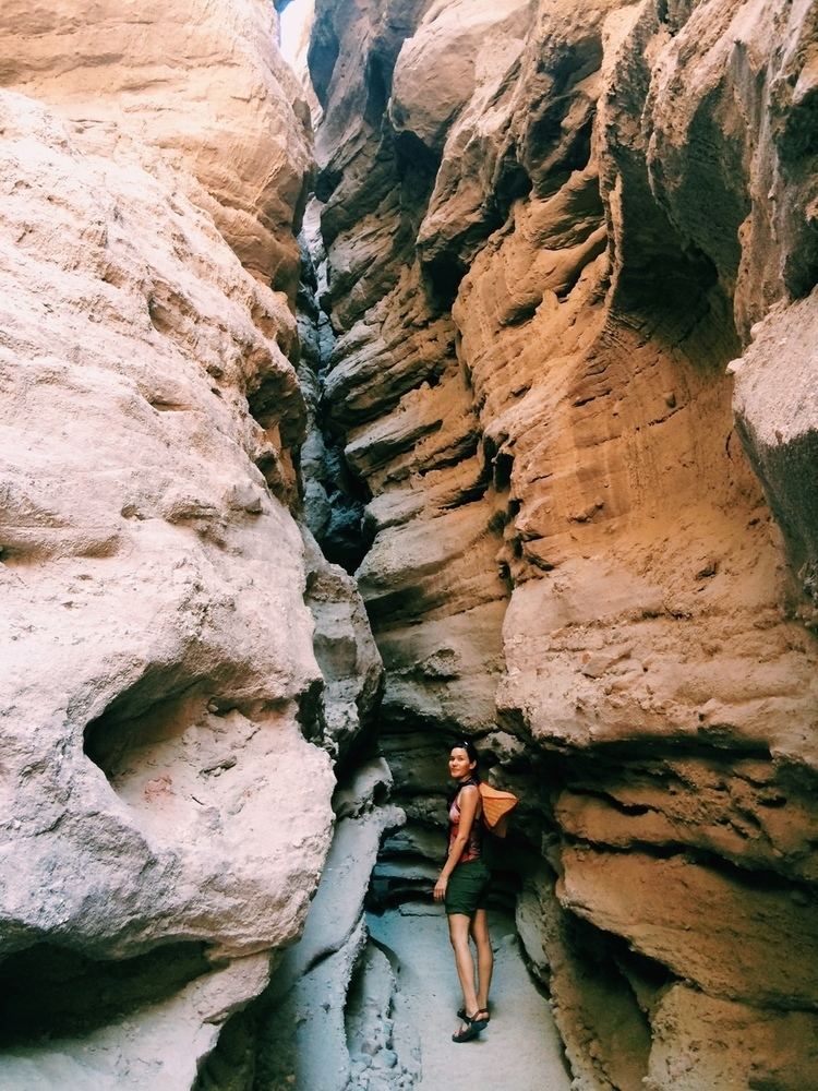
Hiking day 5 the grottos mecca hills
The Mecca Hills are a low mountain range located in the Colorado Desert, in Riverside County, southern California.
Contents
- Hiking day 5 the grottos mecca hills
- Map of Mecca Hills California USA
- Rattlesnake in the cave hike 2nd grotto in mecca hills california
- Mecca Hills Wilderness AreaEdit
- References
Map of Mecca Hills, California, USA
The range lies in an east-west direction.
They are located in the eastern of the Coachella Valley, west of the Chuckwalla Mountains, and south of Interstate 10. The Mecca Hills are north of the Salton Sea and south of Joshua Tree National Park, with the Orocopia Mountains to the southeast.
Rattlesnake in the cave hike 2nd grotto in mecca hills california
Mecca Hills Wilderness AreaEdit
The area is the Bureau of Land Management (BLM) designated and managed Mecca Hills Wilderness Area. The Mecca Hills are in the Colorado Desert section of the Sonoran Desert, adjacent to the Lower Colorado River Valley region.
The Wilderness Area includes narrow steep-walled canyons winding and creating a natural maze within the badlands. Uniquely faulted and folded geologic formations are the result of the San Andreas Fault, making the Mecca Hills one of the more unusual geological sites of this kind.