
Length 125 km | ||
 | ||
History: Designated in 2011Expected completion in 2016 | ||
Mbarara–Ntungamo–Kabale–Katuna Road is a road in the Western Uganda, connecting the city of Mbarara, in Mbarara District, with the towns of Ntungamo, Kabale and Katuna at the International border with the Republic of Rwanda.
Contents
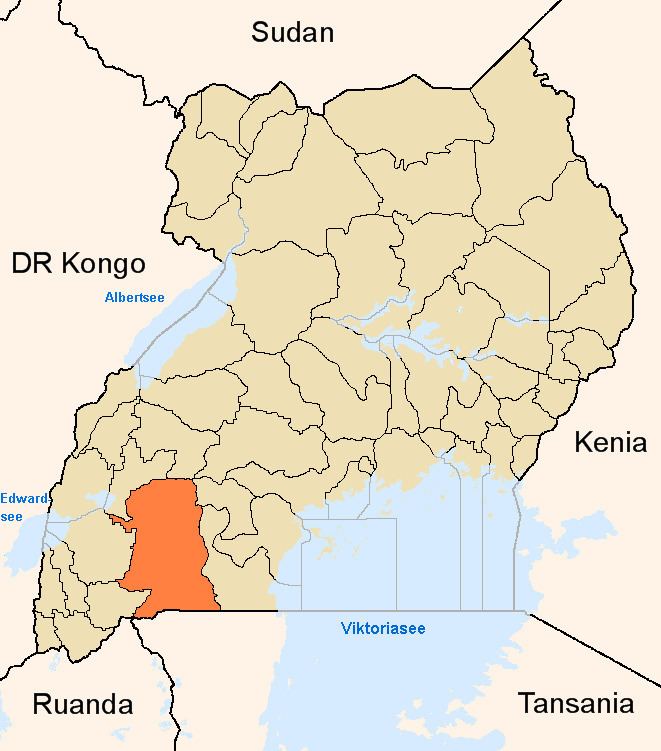
Map of Kabale - Mbarara Rd, Uganda
Location
The road starts at Mbarara (pop. 195,238), the largest city in the Western Region of Uganda. It continues in a southwesterly direction through Ntungamo and Kabale to end at Katuna at the International border with Rwanda, a distance of about 125 kilometres (78 mi) The coordinates of the road, immediately south of Ntungamo are:0°54'10.0"S, 30°15'14.0"E (Latitude:-0.902778; Longitude:30.253889).
Upgrading to bitumen
In December 2010, the European Union extended a grant of USh325 billion (approximately €116 million at that time), to improve the 125 kilometres (78 mi), stretch of the East African "Northern Corridor", between Mbarara and Katuna. The road was divided into two sections: (a) Mbarara-Ntungamo Section, was budgeted at UShs154 billion (€51 million) and (b) Ntungamo-Katuna Section was budgeted at UShs198.26 billion (€65 million). The Ugandan government was budgeted to contribute 8 percent of the grant value (approximately €9.28 million). The construction contract was awarded to Reynolds Construction Company of Switzerland, the lowest bidder. The work was designated in December 2011. Road works involve widening the roadway to 11 metres (36 ft). As of August 2015, Uganda National Roads Authority lists the road as an ongoing project.