
Country Democratic Republic of the Congo Area 460 km2 | Founded 1883 | |
Mbandaka, formerly known as Coquilhatville or Coquilhatstad (named after Camille-Aime Coquilhat), is a city on the Congo River in the Democratic Republic of Congo, lying near the confluence of the Congo and Ruki Rivers. It is the capital of Equateur province.
Contents
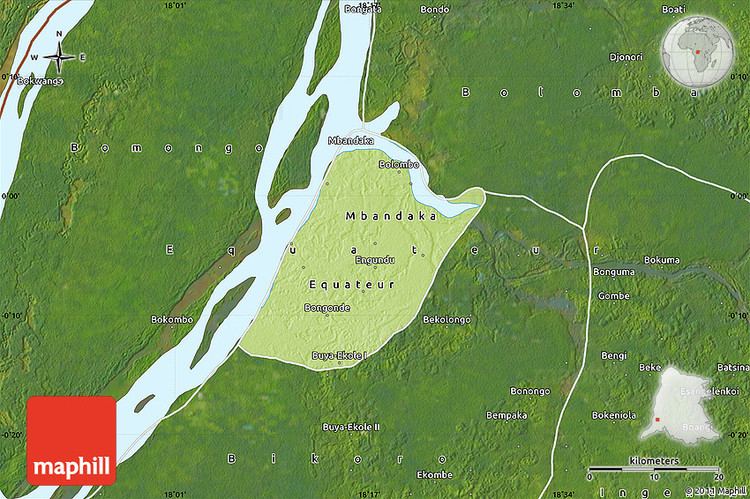
Map of Mbandaka
Geography
Mbandaka lies on the east side of the Congo River below the mouth of the Tshuapa River, a tributary of the Congo. It is south of the Ngiri Reserve on the opposite bank of the Congo, a large area of swamp forest, and is at the center of the Tumba-Ngiri-Maindombe Ramsar wetland. Mbandaka is the capital of the Equateur province, and located only a few miles from the equator. It is home to Mbandaka airport and is linked by riverboat to Kinshasa and Boende. The citys population is approximately 729,257 (2004).
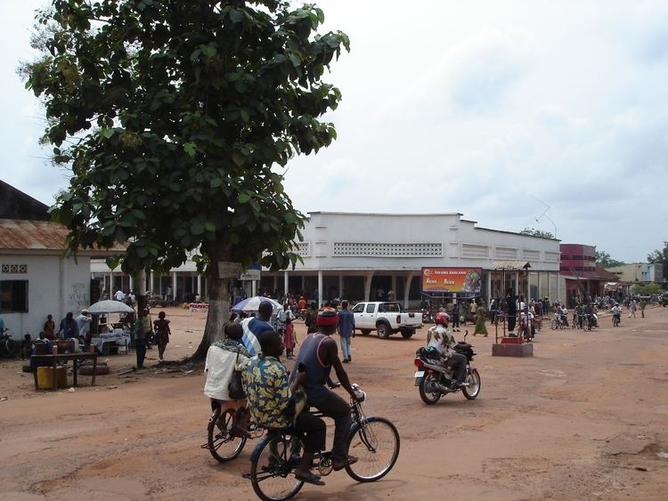
Mbandaka is largely populated by people of the Mongo ethnic group, although people from many different regions live in the city. The main languages spoken in Mbandaka are Lingala, French and Mongo.
Years of war and neglect have taken a heavy toll on the city infrastructure, with no electricity or running water in large sectors of the city. Most of the streets and avenues of the city are dirt roads.
History
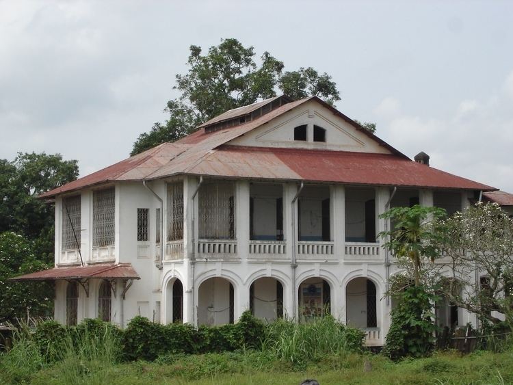
Mbandaka was founded in 1883 by Henry Morton Stanley with the name of "Equateurville". In fact the Town Hall is about 4 kilometres (2.5 mi) north of the Geographic Equator Line, and Mbandaka is indeed one of the closest of any substantial city in the world. Stanley placed a large "Equator Stone" near the river bank south of the city to mark the point where he believed the Equator to cross the river. It still remains there today. Due to its symbolic location close to the equator and the Congo River there were early plans to locate the capital of the Congo Free State in Mbandaka. Although plans were made, they never came off the drawing board. These plans included infrastructure for an estimated population of 100,000 people, a train station, a Catholic cathedral, a governors residence and a palace for future visits of Leopold II.
In 1886, at the beginning of their colonial rule, the Belgians changed the citys name to "Coquilhatville".
During the colonial time in 1938 works started on a bridge over the Congo River connecting Mbandaka with the French Congo. Work was abandoned at the outbreak of WWII and only the foundations of the bridge pillars remain. In the 1930s several other projects were started by the Belgian colonial administration, including several factories and a new city hall. The city hall was completed only after the war in 1947 and was at that time, with a height of 39 meters, the tallest building in the Belgian Congo. On top of the city hall was a statue of Leopold II. The city hall was destroyed by a fire in 1963.
In 1966 the citys name was changed once again, this time by the new independent government, to "Mbandaka" to honor a prominent local leader.
Hundreds of people (mainly Hutu refugees, women and children) in the city were massacred on May 13, 1997 near the end of the First Congo War.