
- land 2.72 sq mi (7 km) - summer (DST) CDT (UTC-5) Population 24,160 (2013) Area code 708 | - water 0.00 sq mi (0 km) Area 7.045 km² Local time Wednesday 11:28 PM Unemployment rate 10.3% (Apr 2015) | |
 | ||
Weather -3°C, Wind W at 11 km/h, 54% Humidity University Stritch School of Medicine | ||
Maywood is a village in Proviso Township, Cook County, Illinois, United States. It was founded on April 6, 1869, and organized October 22, 1881. The population was 24,090 at the 2010 United States Census.
Contents
- Map of Maywood IL 60153 USA
- Overview
- Geography
- Demographics
- History
- Education
- Maywood in World War II
- Notable people
- References
Map of Maywood, IL 60153, USA
Overview
Maywood is a village in Cook County, Illinois, a suburb of Chicago,10 miles (16 km) west of downtown Chicago. Interstate 290, the Eisenhower Expressway, bisects (north and south) the town as it goes from Chicago west to join Interstate 294, the Tri-State Tollway, in Hillside. Maywood is located between O'Hare and Midway airports.
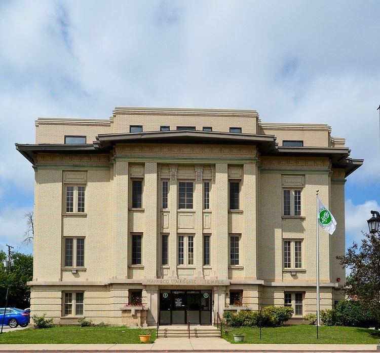
There are many century-old homes in relatively unaltered condition, and Maywood boasts 2 homes and properties listed on the National Register of Historic Places.
At one time there were two airports in Maywood. One was on the location where the Loyola University Medical Center is today, at the southwest corner of First Avenue and Roosevelt Road. It was the airfield used by Charles Lindbergh during his days as an airmail pilot. Checkerboard Field was on the southeastern corner of that intersection and was a private field. It is now a forest preserve meadow. There was some apparent consolidation of the fields in later years. The current Hines Veterans Hospital's long narrow building is built on the foundation of the former grandstand for the automobile board racetrack from many years ago; Barney Oldfield raced on the track.
Geography
According to the 2010 census, Maywood has a total area of 2.72 square miles (7.04 km2), all land.
Neighboring villages are Broadview to the south, Forest Park and River Forest to the east, Melrose Park to the north, and Bellwood to the west.
Demographics
As of the census of 2000, there were 26,987 people, 7,937 households, and 6,151 families residing in the village. The population density was 9,965.7 people per square mile (3,844.9/km²). There were 8,475 housing units at an average density of 3,129.6 per square mile (1,207.5/km²). The racial makeup of the village was 82.7% African American, 9.7% White, 0.1% Native American, 0.3% Asian, 5.6% from other races, and 1.63% from two or more races. Hispanic or Latino of any race were 10.5% of the population.
There were 7,937 households out of which 36.2% had children under the age of 18 living with them, 40.7% were married couples living together, 30.2% had a female householder with no husband present, and 22.5% were non-families. 19.1% of all households were made up of individuals and 6.8% had someone living alone who was 65 years of age or older. The average household size was 3.38 and the average family size was 3.84.
In the village, the population was spread out with 31.7% under the age of 18, 10.4% from 18 to 24, 27.7% from 25 to 44, 20.6% from 45 to 64, and 9.6% who were 65 years of age or older. The median age was 31 years. For every 100 females there were 87.9 males. For every 100 females age 18 and over, there were 82.3 males.
The median income for a household in the village was $41,942, and the median income for a family was $46,776. Males had a median income of $41,638 versus $37,316 for females. The per capita income for the village was $14,915. About 11.1% of families and 13.4% of the population were below the poverty line, including 1.3% of those under age 18 and 1.8% of those age 65 or over.
History
As an early West Side suburb of Chicago, located along the second oldest railway exiting the city, early urban developers of planned subdivisions had been attracted to build in the area after witnessing its unique natural charm of open grass Prairie and scattered groves of ancient trees.
In 1869, Vermont businessmen began the Maywood Company. In 1870 streets were laid, construction began on the north side of the railroad tracks, and 20,000 eight year-old nursery-grown trees were planted. In 2010, the last of these 148-year-old trees had succumbed to the emerald ash borer EAB. The oldest ash tree in northeast Illinois has lived in Maywood for the past 250 years, and is being protected from the borers with treatment, until danger from EAB inevitably passes locally by year 2020, as it already has in Canton, Michigan where borers first arrived. Named after Jens Jensen, founder of the Midwest's prairie ecology movement a century ago, this tree, dubbed "The Great Dane", is located within the old growth woods just behind Proviso East high school.
Prehistoric Lake Chicago influenced the area's topography some 14,000 years ago, as glacial advance, "still stand" stages, and retreat deposited ridges of till. Within this glacial system, the advance of larger Lake Chicago had claimed its most westward beach head paralleling today's Mannheim road. When the rising lake water finally retreated, a glacial lake had been left behind, forming the flat plateau of present-day Maywood.
Education
Maywood-Melrose Park-Broadview School District 89 operates elementary and middle schools. Proviso Township High Schools District 209 operates high schools.
Emerson Elementary School is an elementary school in Maywood. Enrollment as of 2006 was 476 students. The school teaches grades kindergarten through eighth grade. Other elementary schools in Maywood include Lexington, Garfield, Lincoln, Washington and Irving Elementary Schools. Proviso East High School is in Maywood.
Maywood in World War II
Maywood became the home of the 33rd Tank Company, Illinois National Guard. The Armory was located on Madison Street, two blocks east of First Avenue. It was organized on 3 May 1929 with the purpose of training men for combat. On 25 November 1940, 122 men of the 33rd Tank Company were inducted into active service to become Company B of the famous 192nd Tank Battalion which fought on the Philippine islands. They were destined to become victims of the Bataan Death March in April 1942. Of the 122 men of Company B, only 41 returned to Maywood alive. Their sacrifice has been honored with a Bataan Day Parade.