
Time zone MMT (UTC+6:30) Elevation 3 m Local time Wednesday 9:51 PM | Township Maungdaw Township Area 1,510 km² Population 400,000 (2008) | |
 | ||
Weather 23°C, Wind N at 14 km/h, 51% Humidity | ||
Arakan 1 2 burma myanmar maungdaw somoni 1 2
Maungdaw (Burmese: မောင်တောမြို့; MLCTS: maung:tau mrui., [máʊɴdɔ́ mjo̰]) is a town in Rakhine State, in the western part of Myanmar (Burma). It is the administrative seat of Maungdaw Township and Maungdaw District. Maungdaw is the westernmost city of Myanmar and borders Bangladesh. Maungdaw is 16 miles away from Buthidaung. The two towns are separated by the May Yu Mountains and are connected by two tunnels built in 1918.
Contents
- Arakan 1 2 burma myanmar maungdaw somoni 1 2
- Map of Maungdaw Myanmar Burma
- History
- Demographics
- Education
- Economy
- References
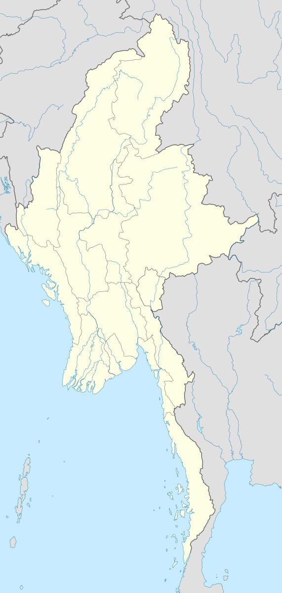
Map of Maungdaw, Myanmar (Burma)
History
In 2016, following border attacks by Rohingya insurgents, reports emerged of Burmese soldiers conducting "mass arrests, torture, the burning of villages, killings of civilians and the systematic rape of Rohingya women." Approximately 820 villages in five towns were destroyed in the violence.
Demographics
In 2008, the population was nearly 400,000 people. The majority of the populace, about 80%, are stateless Rohingya people. The Burmese government does not include Rohingyas on its list of ethnic groups of Myanmar, and thus does not recognize their claim on Burmese citizenship. The remainder of the populace consists of a wide range of ethnic groups, including Rakhine, Bamar, Daingnet, and Mro.
Education
As of 2011, there are eight high schools, 10 middle schools, 16 post-primary schools and 125 primary schools.
Economy
Maungdaw has conducted trade with the Bangladeshi town of Teknaf since September 1995.