
Time zone MMT (UTC+6.30) Local time Tuesday 11:05 PM | Township Buthidaung Township Area code(s) 42, 43 Population 55,545 (2014) | |
 | ||
Weather 24°C, Wind NW at 3 km/h, 89% Humidity | ||
Buthidaung rohingya
Buthidaung (Burmese: ဘူးသီးတောင်မြို့; MLCTS: bu:si:taung mrui., [búðídàʊɴ mjo̰]) is a town in Rakhine State, in the westernmost part of Myanmar (Burma). It is the administrative seat of the Buthidaung Township. Buthidaung lies on the west bank of the Mayu river, and experienced severe flooding in June 2010 and July 2011. Buthidaung is 16 miles away from Maungdaw. The two towns are connected by two tunnels through the Mayu mountains that were built in 1918.2017
Contents
- Buthidaung rohingya
- Map of Buthidaung Myanmar Burma
- Rohingya mp u shwe maung buthidaung township speech in myanmar parliament by bolu
- References
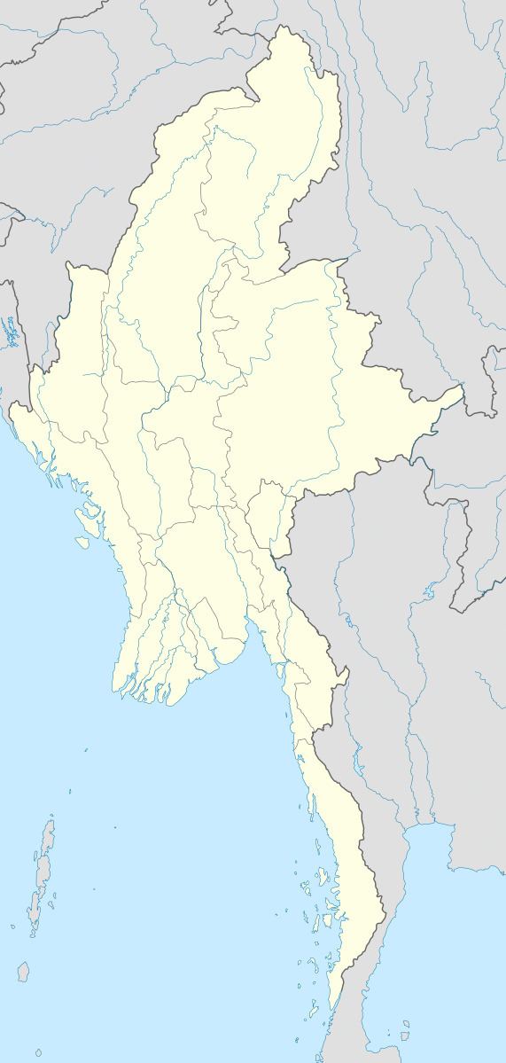
Map of Buthidaung, Myanmar (Burma)
Rohingya mp u shwe maung buthidaung township speech in myanmar parliament by bolu
References
Buthidaung Wikipedia(Text) CC BY-SA