
Postal code 12100 Local time Wednesday 6:44 PM | University Rathnaloka College | |
 | ||
Time zone Sri Lanka Standard Time Zone (UTC+5:30) Weather 26°C, Wind NW at 6 km/h, 91% Humidity Neighborhoods St Peters State, Bodaragama Park, Panthiya | ||
Matugama (Sinhalese: මතුගම) is a town. It is an electorate of the Kalutara district, in Western Province, Sri Lanka. The town is located 64 km to the south of Colombo. Matugama is also spelled as Mathugama.
Contents
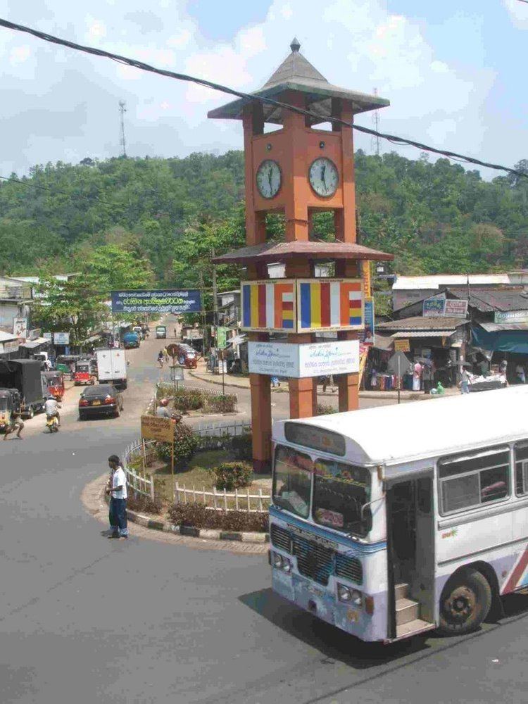
- Map of Matugama Sri Lanka
- History
- Members of State Council
- Members of Parliament
- Geography
- Schools in Matugama
- Transport
- References
Map of Matugama, Sri Lanka
History
Matugama is part of the Pasdun Korale ('County of the five yojanas'), created when King Parakramabahu the Great drained the Kalu Ganga basin. In the days of the State Council it comprised the present-day Agalawatte, Bulathsinhala and Matugama constituencies. In 1946, it was divided into two, the eastern portion becoming Agalawatte (itself subdivided in 1960 by the creation of Bulathsinhala).
Since 1989 it has been an electoral division of the Kalutara District, not a constituency sending a member to parliament in its own right.
Members of State Council
The constituency was represented in the State Council by:
Members of Parliament
Geography
Latitude - 6.5222
Longitude - 80.1144
Altitude - 147M
Bounded by: North - Kalu Ganga river East - Bulathsinhala and Agalawatte electorates South - Bentota Ganga river West - Kalutara and Beruwala electorates.
Schools in Matugama
Transport
Matugama is easily accessible via the Southern Expressway (Sri Lanka). The town is located about 10 km eastward to the Dodangoda Interchange. There are two access roads from Colombo-Galle main road at Katukurunda (in Kalutara) and Aluthgama. Matugama is also accessible via Horana or Agalawatte.
Buses are the only form of public transportation in Matugama. Bus routes terminating at Matugama: