
Area 131.7 km² | Time zone BST (UTC+6) | |
 | ||
Matlab Dakshin is an Upazila of Chandpur District in the Division of Chittagong, Bangladesh. The former Upazila was divided into two in 2000, Matlab Dakshin and Matlab Uttar.
Contents
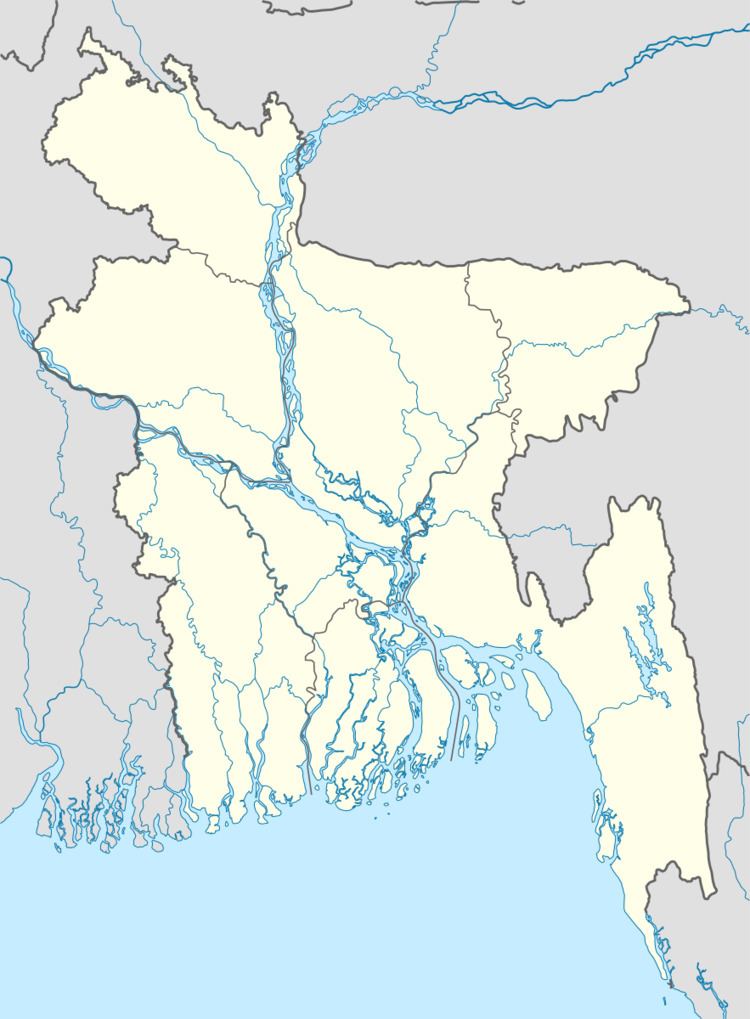
Map of Matlab Dakshin Upazila, Bangladesh
Geography
Matlab is located at 23.3500°N 90.7083°E / 23.3500; 90.7083. It has a total land area of 131.69 km².
Research
Matlab, including both Matlab Dakshin and Matlab Uttar Upazilas, is the primary rural field site for the International Centre for Diarrhoel Disease Research, Bangladesh, and the world's longest running health project.
Education
According to Banglapedia, Matlabganj J.B. Pilot High School is a notable secondary school.
References
Matlab Dakshin Upazila Wikipedia(Text) CC BY-SA