
Parliamentary seat 5 Postal code 3600 | Time zone BST (UTC+6) | |
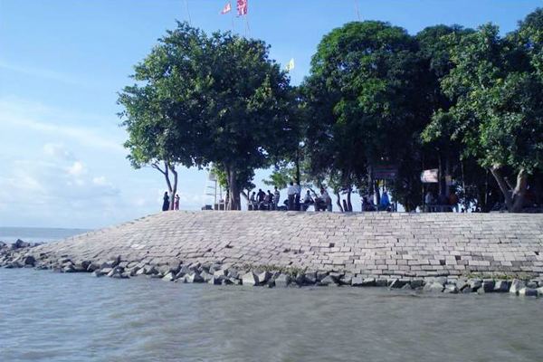 | ||
documentary of chandpur district
Chandpur (চাঁদপুর জেলা) is a district of Bangladesh. It is a part of the Chittagong Division. It was part of greater Comilla District until 1984.
Contents
- documentary of chandpur district
- Map of Chandpur District Bangladesh
- Demographics
- Upazilas
- Villages
- References
Map of Chandpur District, Bangladesh
Demographics
The population of the district as of the 2011 census was 2,416,018.
Upazilas
Chandpur District is divided into the following sub-districts (upazilas):
- Chandpur Sadar Upazila
- Faridganj Upazila
- Haimchar Upazila
- Haziganj Upazila
- Kachua Upazila
- Matlab Dakshin Upazila
- Matlab Uttar Upazila
- Shahrasti Upazila
Villages
There are a number of villages in Chandpur district, including:
References
Chandpur District Wikipedia(Text) CC BY-SA