
Time zone Sri Lanka (UTC+05:30) Area 1,282 km² ISO 3166 code Sri Lanka | Website matara.dist.gov.lk/ | |
 | ||
Divisions ListDivisional Secretariats: 16Grama Niladhari: 650 Points of interest Colleges and Universities University of Ruhuna, Rahula College, St Thomas' College - Matara | ||
Matara is a district in Southern Province, Sri Lanka. It is one of 25 districts of Sri Lanka, the second level administrative division of the country. The district is administered by a District Secretariat headed by a District Secretary (previously known as a Government Agent) appointed by the central government of Sri Lanka.
Contents
Map of Matara, Sri Lanka
Geography
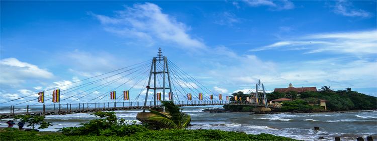
Matara District is located in the south west of Sri Lanka and has an area of 1,282.5 square kilometres (495.2 sq mi).
It is represented in the Sri Lankan Parliament following the Sri Lankan parliamentary election, 2010 by former Sri Lankan national Cricketer Sanath Jayasuriya who stood for the United People's Freedom Alliance.
Administrative units
Matara District is divided into 16 Divisional Secretary's Division (DS Divisions), each headed by a Divisional Secretary (previously known as an Assistant Government Agent). The DS Divisions are further sub-divided into 650 Grama Niladhari Divisions (GN Divisions), with 1,658 villages.
Major cities
Population
Matara District's population was 803,999 in 2012. The majority of the population are Sinhalese, with a minority Sri Lankan Moor and Indian Tamil population.