
Length 154.2 km | ||
 | ||
History: Designated in 2008Completion in 2011 | ||
The Masaka–Masaka Road is a road in the Central and Western Regions of Uganda, connecting the towns of Masaka in Masaka District, Central Region and Mbarara in Mbarara District, Western Region.
Contents
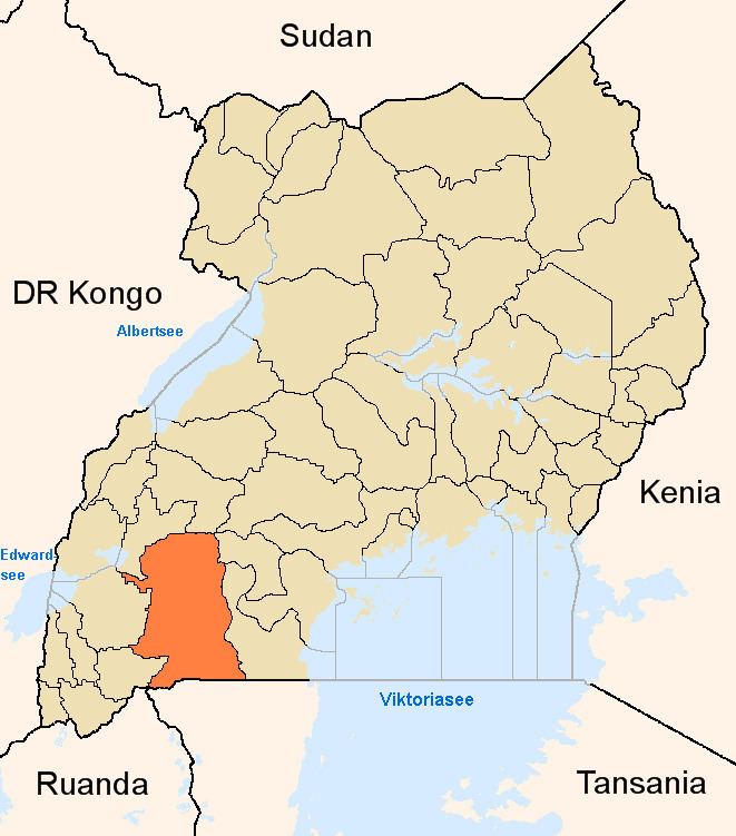
Map of Mbarara - Masaka Rd, Uganda
Location
The road starts at Masaka and goes through Lyantonde, and ends in Mbarara, a distance of babout 138 kilometres (86 mi). The road improvements involved road extensions making the contract road length 154.2 kilometres (95.8 mi). The coordinates of the road west of the town of Lyantonde are 0°26'00.0"S, 31°05'40.0"E (Latitude:-0.433343; Longitude:31.094438).
Overview
Before 2008, the road had a bitumen surface in poor state. In 2008, the government of Uganda, using funds borrowed from the European Union, began upgrading the road to grade II bitumen surface with shoulders, culverts, and drainage channels. The work was contracted to Reynolds Construction Company of Nigeria, at a cost of Sh230 billion (approx.€79 or US$104 million at that time).