
District Bardhaman PIN 713401 Local time Tuesday 5:51 PM | Time zone IST (UTC+5:30) Vehicle registration WB | |
 | ||
Weather 27°C, Wind NW at 6 km/h, 35% Humidity | ||
Masagram is a village in Ajhapur gram panchayat of Jamalpur block in Bardhaman Sadar South subdivision of Bardhaman district in the Indian state of West Bengal.
Contents
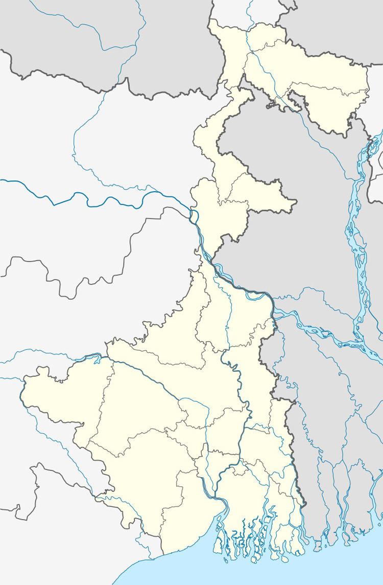
Map of Masagram, West Bengal 713401
Geography
Masagram is located at 23°08′18″N 88°01′51″E.
It is located near the banks of the Damodar River. It is around 7 kilometres (4.3 mi) south of Palsit and 12 kilometres (7.5 mi) from Saktigarh.
Transport
Masagram railway station is 23 kilometres (14 mi) from Burdwan (Rail Station) and 72 kilometres (45 mi) from Howrah Station on the Howrah-Bardhaman chord. On completion it will be a terminus station of Bankura Damodar Railway (under construction).
It is located off NH2 and a road leads to Memari on Grand Trunk Road.
References
Masagram Wikipedia(Text) CC BY-SA