
Country India District Bardhaman Vehicle registration WB Elevation 23 m | State West Bengal Time zone IST (UTC+5:30) Website bardhaman.gov.in Population 3,578 (2011) | |
 | ||
Palsit is a village in Burdwan II CD Block in Bardhaman Sadar North subdivision of Bardhaman district in the Indian state of West Bengal.
Contents
Map of Palsit, West Bengal 713149
Geography
Palsit is located at 23°11′11″N 88°00′58″E
Palsit is part of the Bardhaman Plain, the central plain area of the district. The area is surrounded by the Bhagirathi on the east, the Ajay on the north-west and the Damodar on the west and south. Old river channels and small creeks found in the region dry up in the dry season, but the Bardhaman Plains are sometimes subject to heavy floods during the rainy season. The region has recent alluvial soils.
Demographics
As per the 2011 Census of India Palsit had a total population of 3,578, of which 1,790 (50%) were males and 1,788 (50%) were females. Population below 6 years was 370. The total number of literates in Palsit was 2,307 (71.91% of the population over 6 years).
Transport
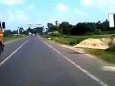
Palsit is the junction point of the Grand Trunk Road and Durgapur Expressway. It is on NH 19. While Dankuni is 65 kilometres (40 mi), Panagarh is 64 kilometres (40 mi) from Palsit.
Palsit is the meeting point of NH 114 and SH 13.
It is 92 kilometres (57 mi) from Howrah Station on the Howrah-Bardhaman Main Line. It is 4 kilometres (2.5 mi) each from Saktigarh and Rasulpur. It is part of Kolkata Suburban Railway system.