
 | ||
Martinhoe is a hamlet and civil parish in North Devon district, Devon, England. In the 2011 census it was recorded as having a population of 159.
Map of Martinhoe, Barnstaple, UK
The northern boundary of the parish is the coast of the Bristol Channel, along which goes the South West Coast Path. The neighbouring parishes are Lynton and Lynmouth to the east, Parracombe to the south, Kentisbury to the south west, and Combe Martin to the west.
The parish church of St Martin dates in part from the 13th or 14th century and is Grade II* listed. It is in the Diocese of Exeter, and services are held once a month.
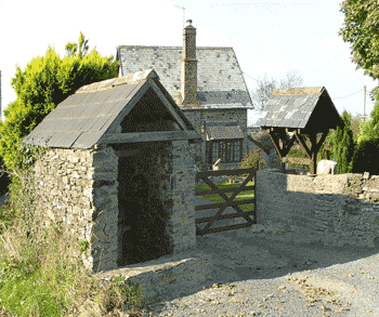
There are 16 listed buildings in the parish, all at Grade II except the church. The Beacon roman fortlet, above the coast to the north west of the village, was occupied for a short time in the first century AD and was excavated in the 1960s.
Woody Bay on the coast of the parish was the site of a failed development plan in the 1890s. The Lynton and Barnstaple Railway ran through the southern part of the parish, and Woody Bay railway station is in the parish; at 964 feet (294 m) it is said to be the highest railway station in southern England. The Lynton and Barnstaple Railway Trust operates narrow gauge trains over one mile of track between the station and Killington Lane.
Hollow Brook (or Hollowbrook) Waterfall, which drops to the sea due north of the village, is claimed to be "the westcountry's highest coastal waterfall, and one of the highest in Britain", dropping 210 metres (690 ft) in a series of falls including two of 50 metres (160 ft), over 400 metres (1,300 ft) horizontal distance.