
UBIGEO 1801 Area 8,672 km² | Elevation 1,410 m (4,630 ft) Founded 3 April 1936 | |
 | ||
Website | ||
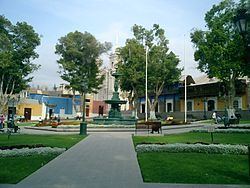
The Mariscal Nieto Province (Spanish mariscal marshal) is the largest of three provinces that make up the Moquegua Region of Peru. The capital of the province is the city of Moquegua.
Contents
Map of Mariscal Nieto Province, Peru
Boundaries
Geography
Some of the highest mountains of the province are listed below:
Political division
The province is divided into six districts, which are:
Ethnic groups
The province is inhabited by indigenous citizens of Aymara and Quechua descent. Spanish, however, is the language which the majority of the population (79.51%) learnt to speak in childhood, 15.65% of the residents started speaking using the Aymara language and 4.45% using Quechua (2007 Peru Census).
References
Mariscal Nieto Province Wikipedia(Text) CC BY-SA