
Founded May 26, 1970 Elevation 15 m (49 ft) | Region Moquegua UBIGEO 1803 | |
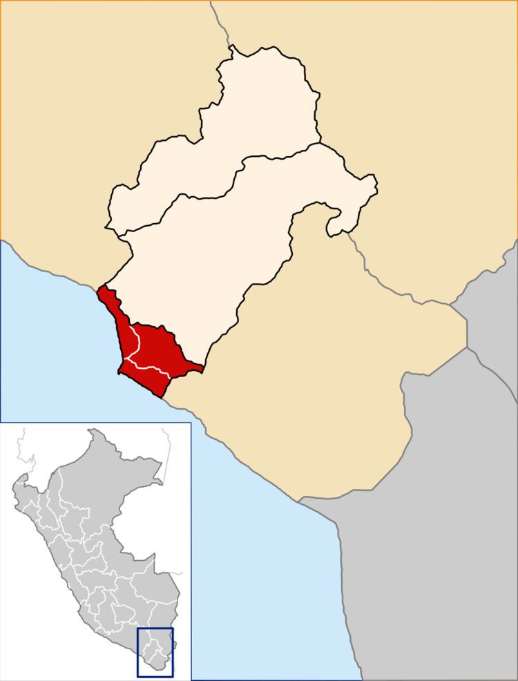 | ||
The Ilo Province is one of three provinces that make up the Moquegua Region in Peru. The province is the largest mining center in all of the southern Peru area.
Contents
Map of Province of Ilo, Peru
Geography
The province borders the Mariscal Nieto Province to the north, the Jorge Basadre Province to the east and southeast, the Pacific Ocean to the south and west, and the Islay Province to the northwest.
It extends north-south through the region's coastal area, forming a bay.
Population
According to the 1993 Census, the Ilo Province has a population of 51,481 inhabitants, 52.4% of which (26,964) are male and 47.6% (24,517) are female.
As of 2005, the Instituto Nacional de Estadística e Informática estimates the province's population to be 68,363.
Languages
Spanish is spoken at home by 82% of the population; while others speak Aymara (10.6%), Quechua (6.1%), other indigenous languages (0.1%) and foreign languages (0.3%).
Immigration
Persons originating from other regions of the country make up 51.6% of the population and 0.3% of residents were born abroad.
The largest immigrant groups come from the Puno Region (17.4% of the total population) and the Arequipa Region (15.3%).
Age
The population is spread out with
Political division
The Ilo Province is divided into three districts (Spanish: distritos, singular: distrito), each of which is headed by a mayor (alcalde). The districts, with their capitals in parenthesis, are: