Founded 10 December 1850 Time zone CLT (UTC−4) Local time Monday 1:41 AM | Region Los Rios Elevation 6 m (20 ft) Area 1,320 km² | |
 | ||
Founded as San José de La Mariquina Weather 11°C, Wind SW at 10 km/h, 91% Humidity | ||
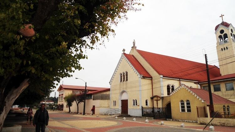
Mariquina is a commune in southern Chile, Valdivia Province, Los Ríos Region. It is located about 40 km northeast of Valdivia, close to Cruces River. The capital is the city of San José de la Mariquina. The commune's main economic activities are agriculture, cattle farming and wood pulp manufacturing.
Contents
- Map of San JosC3A9 de la Mariquina Mariquina Los RC3ADos Region Chile
- Demographics
- Administration
- References
Map of San Jos%C3%A9 de la Mariquina, Mariquina, Los R%C3%ADos Region, Chile
Demographics
According to the 2002 census of the National Statistics Institute, Mariquina spans an area of 1,320.5 km2 (510 sq mi) and has 18,223 inhabitants (9,361 men and 8,862 women). Of these, 8,925 (49%) lived in urban areas and 9,298 (51%) in rural areas. The population grew by 1.5% (271 persons) between the 1992 and 2002 censuses.
Administration
As a commune, Mariquina is a third-level administrative division of Chile administered by a municipal council, headed by an alcalde who is directly elected every four years. The 2005-2018 and 2012 and present alcalde is Erwin Pacheco Ayala.
Within the electoral divisions of Chile, Mariquina is represented in the Chamber of Deputies by Mr. Alfonso De Urresti (PS) and Mr. Roberto Delmastro (RN) as part of the 53rd electoral district, (together with Valdivia, Lanco, Máfil and Corral). The commune is represented in the Senate by Andrés Allamand Zavala (RN) and Eduardo Frei Ruiz -Tagle (PDC) as part of the 16th senatorial constituency (Los Ríos Region).
