Elevation 14 m (46 ft) Area 582.7 km² | Region Los Rios Founded 17 July 1964 Time zone CLT (UTC-4) Local time Thursday 9:49 AM | |
 | ||
Weather 9°C, Wind SE at 2 km/h, 94% Humidity | ||
Máfil (Mapudungun for embraced between rivers) is a town and commune of the Valdivia Province, Los Ríos Region in southern Chile, about 30 km northeast of Valdivia. The main economic aticivities of Máfil are forestry, cattle farming, cultivation and gold mining in the Madre de Dios area.
Contents
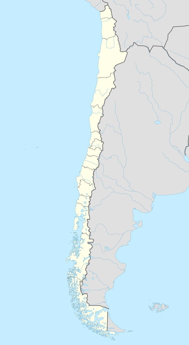
Map of M%C3%A1fil, Los R%C3%ADos Region, Chile
Demographics
According to the 2002 census of the National Statistics Institute, Máfil spans an area of 582.7 km2 (225 sq mi) and has 7,213 inhabitants (3,773 men and 3,440 women). Of these, 3,796 (52.6%) lived in urban areas and 3,417 (47.4%) in rural areas. The population fell by 7% (547 persons) between the 1992 and 2002 censuses.
Administration
As a commune, Máfil is a third-level administrative division of Chile administered by a municipal council, headed by an alcalde who is directly elected every four years.The 2008-2012 alcalde is Moira Henzi Becker.
Within the electoral divisions of Chile, Máfil is represented in the Chamber of Deputies by Mr. Alfonso De Urresti (PS) and Mr. Roberto Delmastro (RN) as part of the 53rd electoral district, (together with Valdivia, Lanco, Mariquina and Corral). The commune is represented in the Senate by Andrés Allamand Zavala (RN) and Eduardo Frei Ruiz -Tagle (PDC) as part of the 16th senatorial constituency (Los Ríos Region).
