Topo map USGS Bare Mountain Range Cascade Range | ||
 | ||
Elevation 492 to 4,521 ft (150 to 1,378 m) Age of rock less than 700,000 years | ||
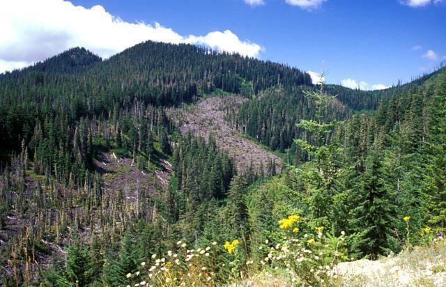
Marble Mountain-Trout Creek Hill volcanic field (MMTC) is a volcanic field located in Washington, US.
Contents
- Map of Marble Mountain Trout Creek Hill Washington 98610 USA
- Trout Creek HillEdit
- West CraterEdit
- References
Map of Marble Mountain-Trout Creek Hill, Washington 98610, USA
Trout Creek HillEdit
Trout Creek Hill is a small Pleistocene basaltic shield volcano in Washington, United States. It produced a lava flow about 340,000 years ago that traveled 20 km (12 mi) southeast, which dammed the Columbia River for a short period of time.
West CraterEdit
West Crater is a small andesitic lava dome with associated lava flows in southern Washington.
References
Marble Mountain-Trout Creek Hill Wikipedia(Text) CC BY-SA
